Hiking – Salernes – Saint-Barthélémy, Picaillou Distance: 6.5 km Duration: 2h Difficulty: Medium Elevation: 325 m Access: road D560, direction “Site de Saint-Barthélémy”. Carpark: Site de Saint-Barthélémy. Start at the water tower before the parking (1). Go uphill onto the trail just opposite to Picaillou Hill, old lime kiln on your right (XIXth century) (2). […]
READ MOREHiking – Saint-Antonin-du-Var – Le Collet du Suis Distance: 5.8 km Duration: 1h50 Difficulty: Medium Elevation: 120 m Departure from the Cemetery via “Chemin du Planouquier” to the North. Passage under the Petit Train bridge “Méditerranée à Vélo” (1) then left towards Mentone (yellow and red marks). Near Mentone, take for 150 m the road […]
READ MORE
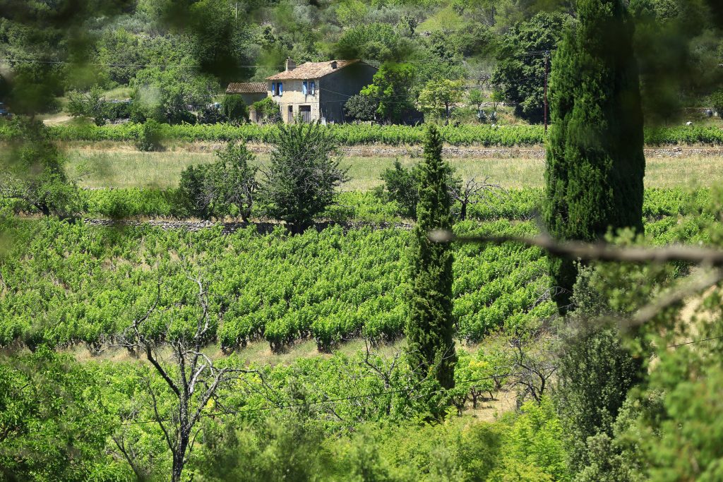
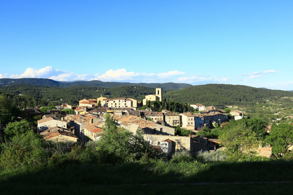
Sports hike – Le Muy – L’Endre et le moulin de Gournié Distance: 10 km Duration: 3h30 Difficulty: Difficult Elevation: 250 m From Le Muy, go onto the RD25 road heading to Callas. At the roundabout, follow direction Bagnols by RD47. After the Endre bridge painted blue, turn left to (1) carpark and a picnic […]
READ MOREHiking – Les Arcs sur Argens – Les menhirs des Terriers Distance: 11.3 km Duration: 4h40 Difficulty: Medium Elevation: 350m Download Park at La Tournavelle, between the Argens bridge, and the Aille bridge (1). Follow the tarmac road South, cross the Aille bridge (Eiffel bridge). Walk until reaching place called “la Renardiere” (leave “la […]
READ MOREHiking – Les Arcs sur Argens – La Tournavelle Distance: 12.7 km Duration: 4h30 Difficulty: Medium Elevation: 150m Park at La Tournavelle (1), between the Argens bridge, and the Ailles bridge. From the park and go north the tarmac road for 150 m. Go the left until to join the Tournavelle track for 1.2 […]
READ MOREHiking – La Bastide – Le tour de Brouis Distance: 7 km Duration: 3h Difficulty: Medium Elevation: 440 m Carpark at Clavel mountain pass, between La Bastide and La Martre. (1) From the carpark, cross over the road and follow the trail just opposite heading to Chateauvieux (Maunier). (2) Once you have met the anti […]
READ MOREHiking – Flayosc – Peylong / Figueiret Distance: 8 km Duration: 2h30 Difficulty: Medium Elevation: 250 m From the village (1) pass under the porch next to the post office and turn left on the “route du Peyron”, pass under bridge (2). At the fork take to the left the “chemin des Peylongs” (3) and […]
READ MOREHiking – Comps-sur-Artuby – Boucle Fayet Distance: 11.6 km Duration: 4 hours Difficulty: Medium Elevation: 340 m Carpark on the outskirts of Comps-sur-Artuby village. (1) From the carpark go onto St-Bayon small uphill street just opposite the town hall. This trail, first well worn turns into an unleveled pathway that takes you into Combasq Wood. […]
READ MOREFamily walk – Trans en Provence – La Darboussière Distance: 4.5 km Duration: 2h30 Difficulty: Easy Elevation: 200 m Access by road D54 to Draguignan. From the carpark (1). Follow the pathway heading straight on upward untill the large track (2). Take on right and follow up to a tank, leave it on […]
READ MOREFamily walk – Trans en Provence – Le puits aérien Distance: 5 km Duration: 1h40 Difficulty: Easy Elevation: 100 m Car park at the former railway station, on “Route du Plan”. Go onto the “Vigne à Vélo” until you reach Notre- Dame junction (1). From this point, go onto Les Arcs-sur-Argens road up […]
READ MORE