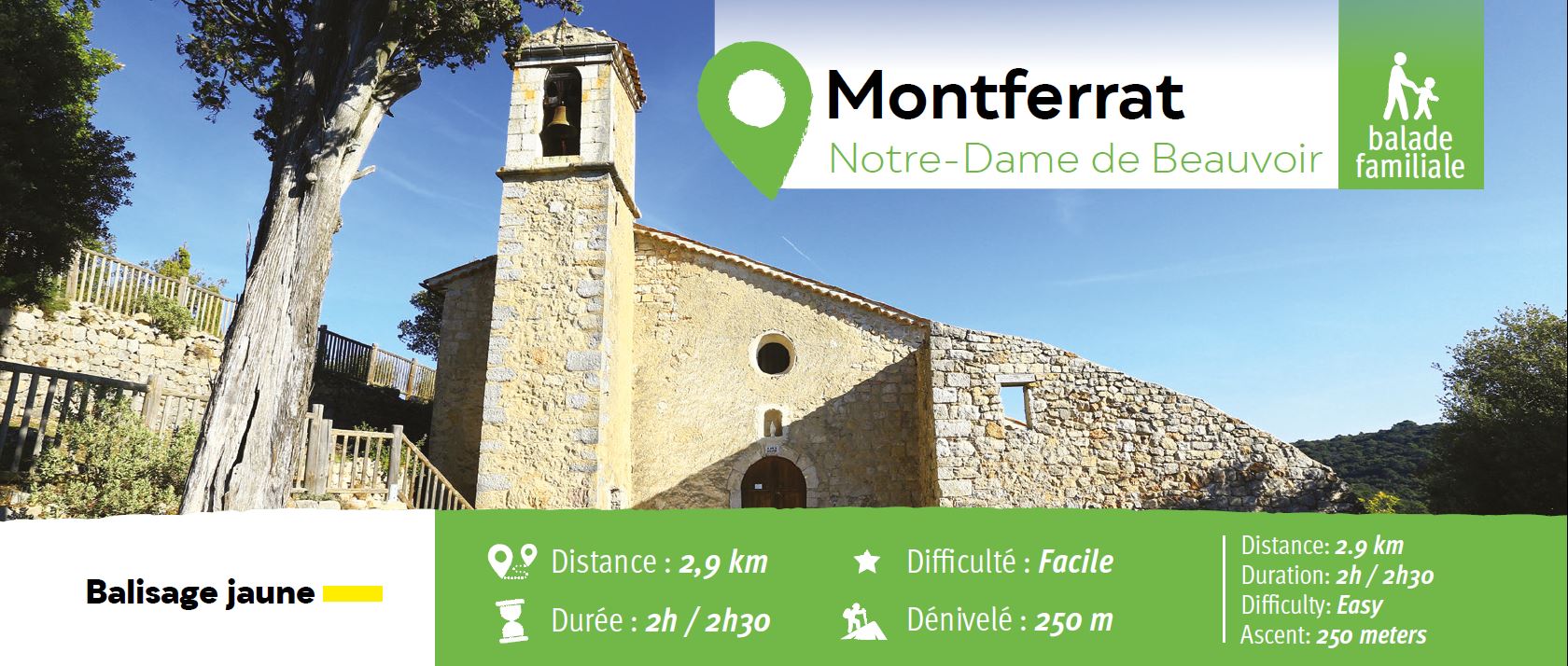
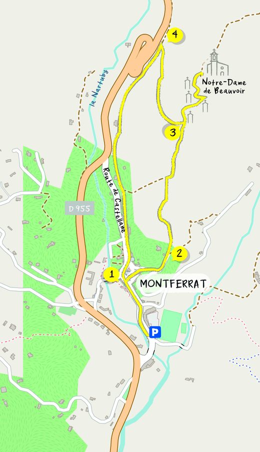
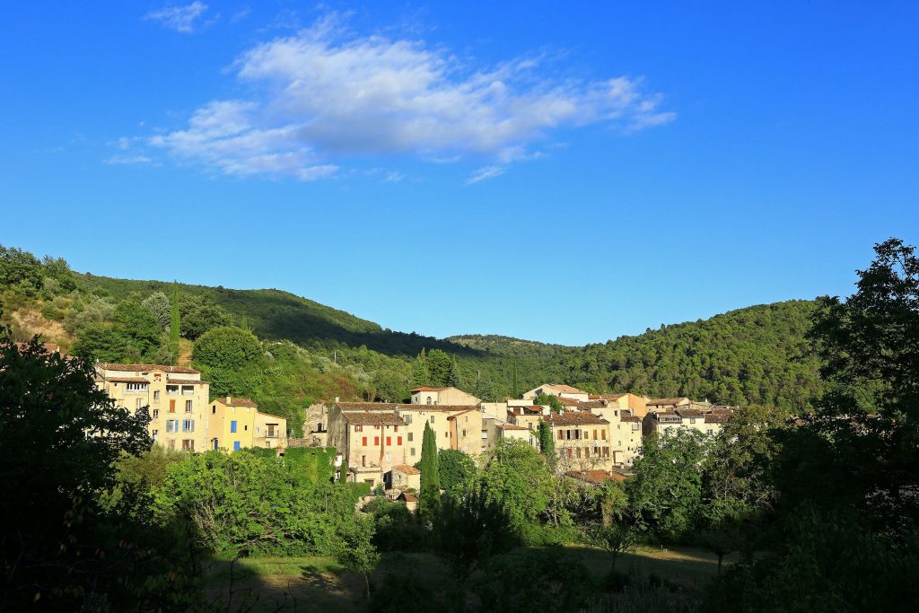
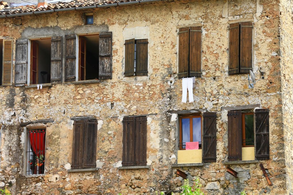
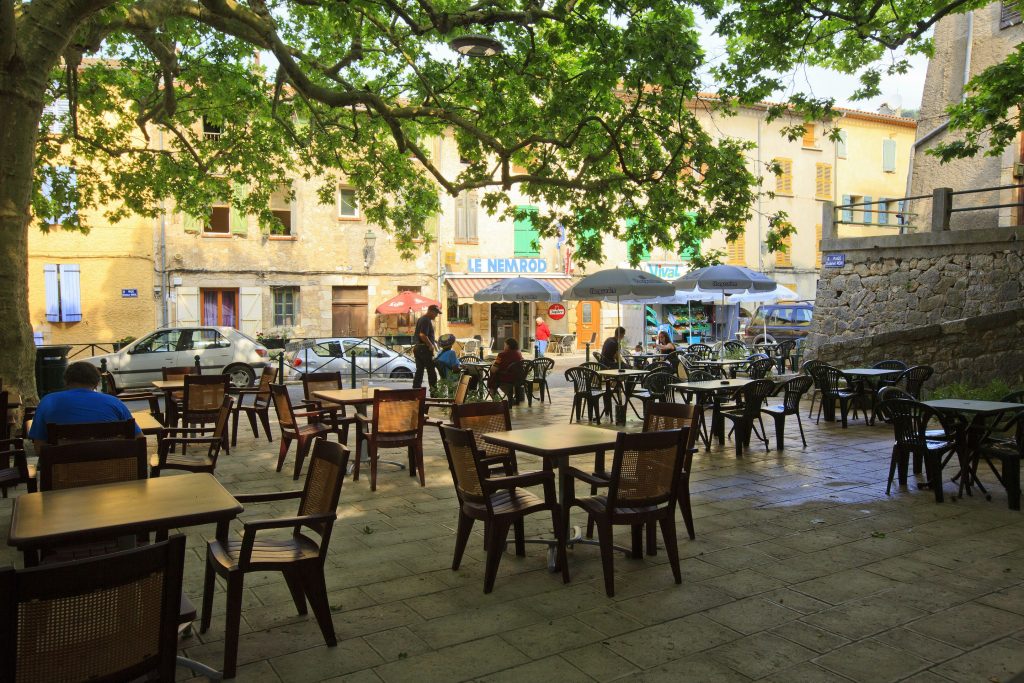
Family walk – Trans en Provence – Le puits aérien
Family walk – Trans en Provence – Le puits aérien Distance: 5 km Duration: 1h40 Difficulty: Easy Elevation: 100 m Car park at the former railway station, on “Route du
Family walk – Trans en Provence – Le puits aérien Distance: 5 km Duration: 1h40 Difficulty: Easy Elevation: 100 m Car park at the former railway station, on “Route du
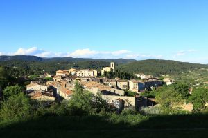
Hiking – Flayosc – Peylong / Figueiret Distance: 8 km Duration: 2h30 Difficulty: Medium Elevation: 250 m From the village (1) pass under the porch next to the post office
Family walk – Draguignan – Sentier botanique et Sentier des arbousiers Distance A: 1.1 km Distance B: 1.6 km Duration A: 22 min. Duration B: 30 mins. Difficulty: Easy Elevation: