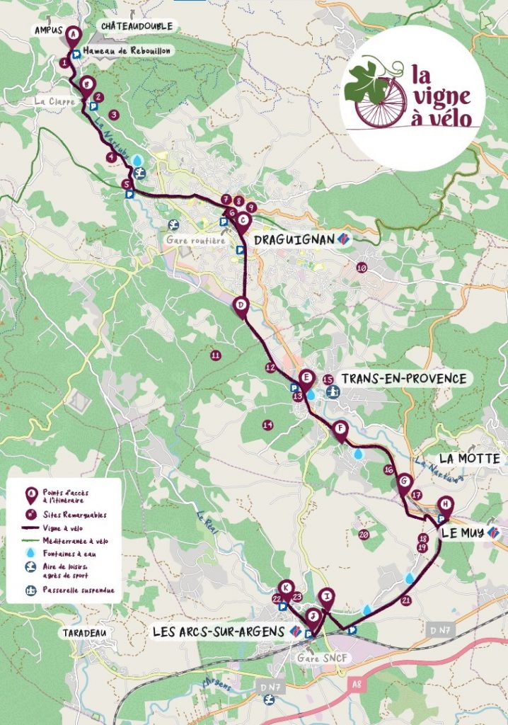
Vigne à vélo cycling route spans a distance of 20 kms. It connects Les Arcs sur Argens to Trans en Provence and Draguignan, on the doorstep of Verdon Region
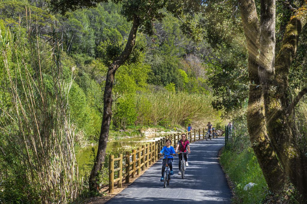
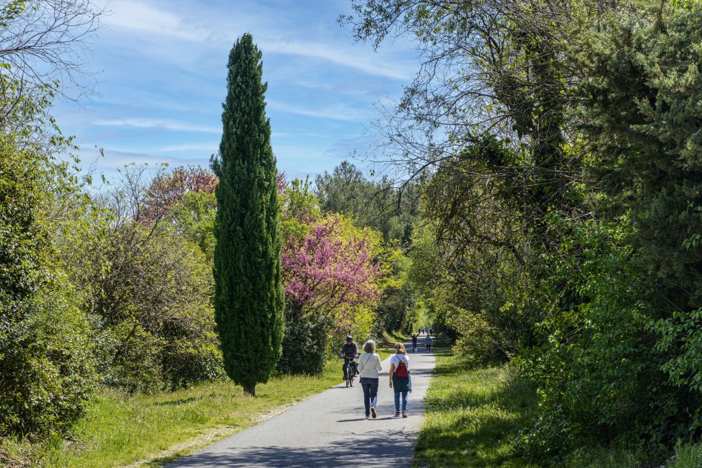
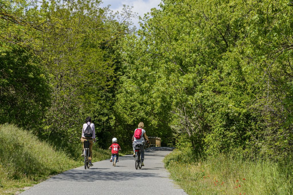
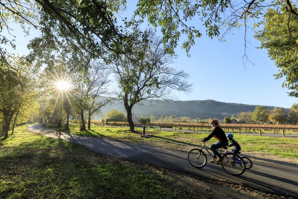
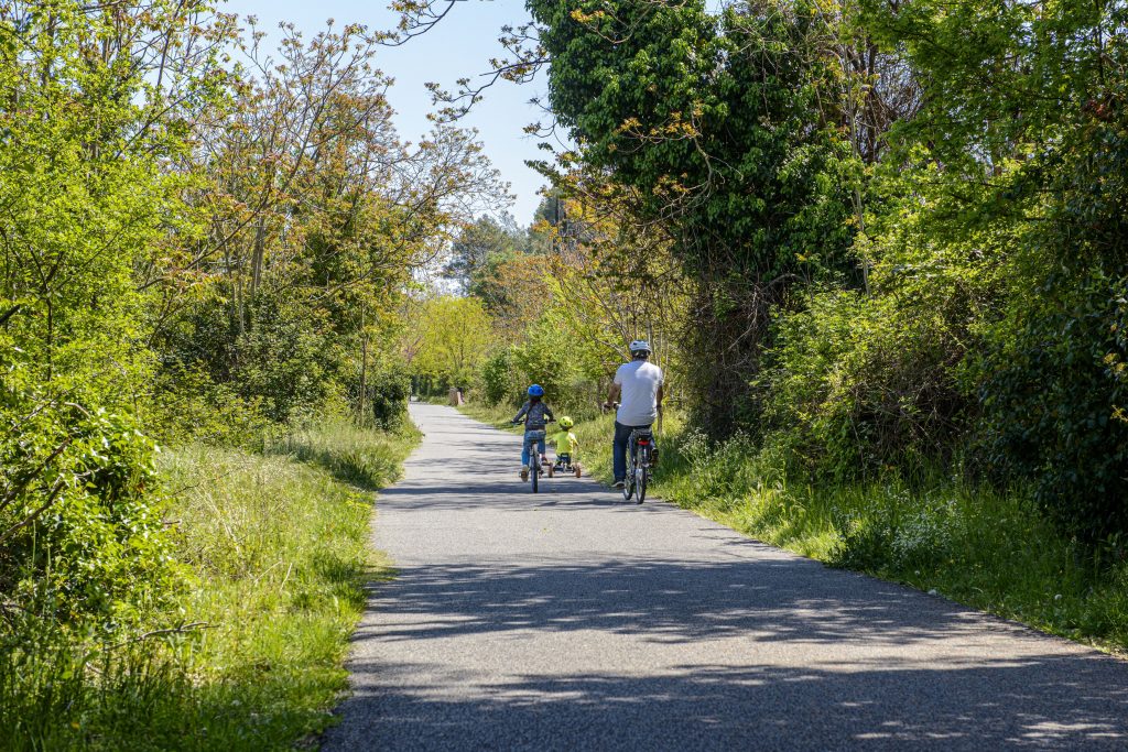
Either cycling or walking, riding a rollerblade, a scooter, a skateboard or even on a stroller: following Vigne à Velo cycling track allows for a full nature immersion in complete freedom.
Children can frolic without risk. Elderly people and persons with reduced mobility can walk at their own pace. Athletes can indulge freely in their favorite activities. A pleasant and shaded walk on a smooth asphalt surface, through a luxurious vegetation.
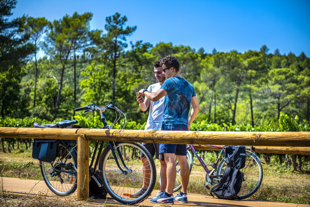
Designated picnic areas are set up along the walking path: 4.5 kms from Les Arcs City Centre, at Sainte Roseline roundabout.
Don’t miss the subtle combination of a rich historic heritage: Parage medieval quarter, Les Arcs House of History and Sainte Roseline Chapel.
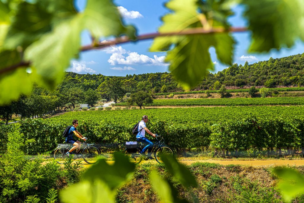
You can always turn aside from the main track and grasp the opportunity to visit renowned wine estates (Font du Broc, Sainte Roseline or Valbourgès)
La Vigne a Velo network has been expanded and includes a new track: from La Clappe to Rebouillon hamlet, at the doorstep of Chateaudouble Gorges – e.g. 4 kms
Vigne à Velo cycling network is connected to the Mediterranean Route (EuroVelo 8) that stretches across Dracenie Territory and spans a distance of 70 kms.
Eventually, la Vigne à Vélo will connect Vidauban to Taradeau, La Motte and Le Muy.
A 5.5 km: From “Sainte-Roseline” to Trans en Provence.
A remarkable natural heritage that combines undergrowth and noteworthy panoramas. Once in Trans en Provence, do not miss the so called “Calant Loop”: i.e. the suspension bridge over Nartuby Gorges and the walking path along Nartuby waterfalls. You can even push further to the aerial well.
A 3.5 km from Trans waterfalls to Draguignan City centre.
Draguignan, on the doorstep of Verdon Region : a thriving commercial strip of shops, a rich event calendar with exhibitions throughout the year and museums.
3.2 km from Boulevard Comte Muraire in Pont d’Aups (open lane)
2.6 km from Pont d’Aups to La Clappe (shared road)
2.2 km from La Clappe to Rebouillon (cycle path + shared lane)
Châteaudouble (Rebouillon) -> Draguignan (La Clappe): 2.2 km
Draguignan (La Clappe) -> Draguignan (Pont d’Aups): 2.6 km
Draguignan (Pont d’Aups) -> Draguignan (Count Muraire): 3.2 km on road open to traffic / no cycle path
Draguignan -> Trans-en-Provence: 3.5 km
Trans en Provence -> Ste Roseline: 5.5 km
Ste Roseline -> Les Arcs sur Argens: 4.5 km
Total: 20.3 km on cycle path + 3.2 on open road
Enjoy your journey in Dracénie!
Access DRAGUIGNAN
Boulevard du Comte Muraire.
Access TRANS IN PROVENCE
Trans station, Route du Plan “La Gare’Gotte”, opposite Decathlon.
Nous utilisons des cookies pour vous garantir la meilleure expérience sur notre site web. Si vous continuez à utiliser ce site, nous supposerons que vous en êtes satisfait.