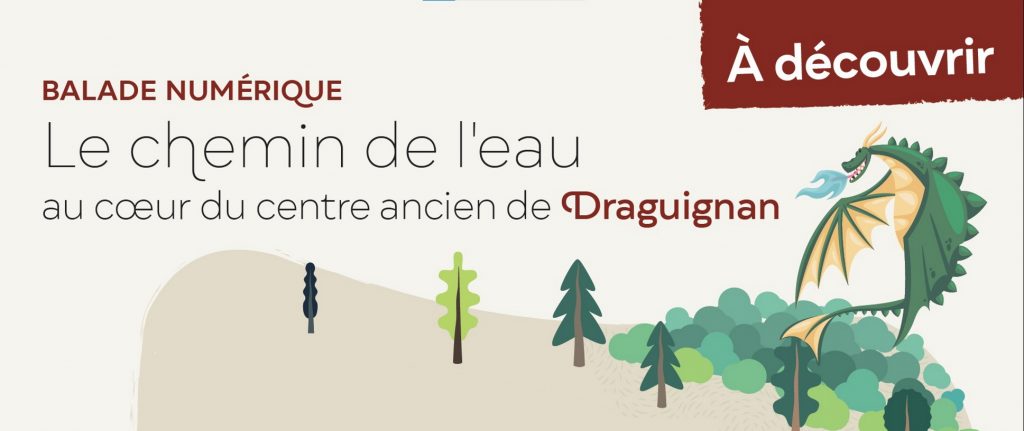
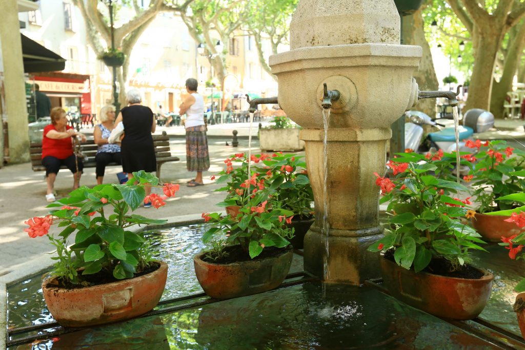
Digital walk – Draguignan – The water path
Digital walk – Draguignan – The water path Departure from rue Roumanille, behind the ATP Museum*. A mobile application allowing you to discover the old center of Draguignan as it once was, with its mills, gardens and washhouses. Follow a route, accompanied by your companion “Drago” the Dragon symbol of the city of Draguignan. Step […]
READ MORE