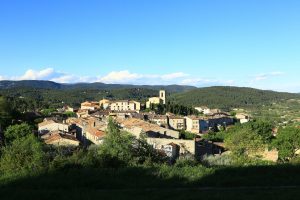
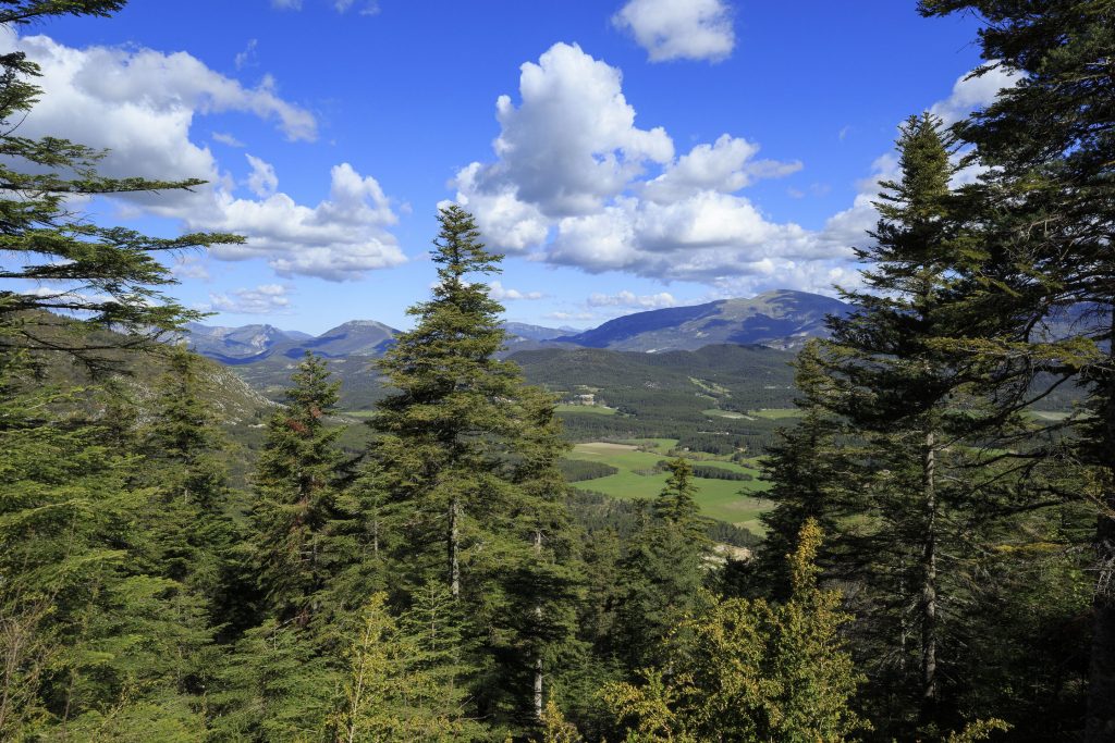
Hiking – Flayosc – Peylong / Figueiret
Hiking – Flayosc – Peylong / Figueiret Distance: 8 km Duration: 2h30 Difficulty: Medium Elevation: 250 m From the village (1) pass under the porch next to the post office
Hiking – Flayosc – Peylong / Figueiret Distance: 8 km Duration: 2h30 Difficulty: Medium Elevation: 250 m From the village (1) pass under the porch next to the post office
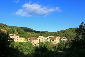
Family walk – Montferrat – Notre Dame de Beauvoir Distance: 2.9 km Duration: 2h / 2h30 Difficulty: Easy Elevation: 250 m Carpark at the entrance of the village, above the
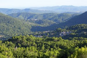
Family walk – Bargemon – La table d’orientation Distance A/R: 9 km Duration A/R: 3h Difficulty: Easy Elevation: 400 m Head past the gendarmerie and follow direction to Col du