Family walk – Lorgues – Saint Ferréol
Family walk – Lorgues – Saint Ferréol Distance: 4 km Duration: 2 hours Difficulty: Easy Elevation: 220 m Carpark: tourism board. From the carpark, head the Saracen door and
Family walk – Lorgues – Saint Ferréol Distance: 4 km Duration: 2 hours Difficulty: Easy Elevation: 220 m Carpark: tourism board. From the carpark, head the Saracen door and
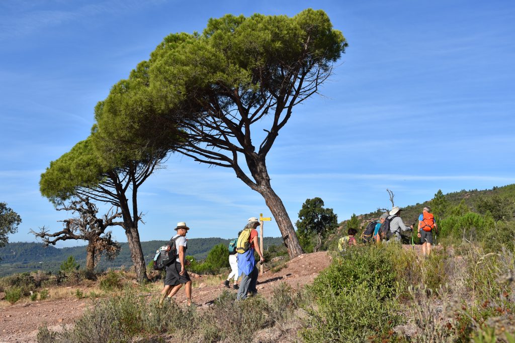
Hiking – Saint-Antonin-du-Var – Le Collet du Suis Distance: 5.8 km Duration: 1h50 Difficulty: Medium Elevation: 120 m Departure from the Cemetery via “Chemin du Planouquier” to the North. Passage
Digital walk – Draguignan – The water path Departure from rue Roumanille, behind the ATP Museum*. A mobile application allowing you to discover the old center of Draguignan as it