Family walk – Trans en Provence – La Darboussière
Family walk – Trans en Provence – La Darboussière Distance: 4.5 km Duration: 2h30 Difficulty: Easy Elevation: 200 m Access by road D54 to Draguignan. From the carpark (1).
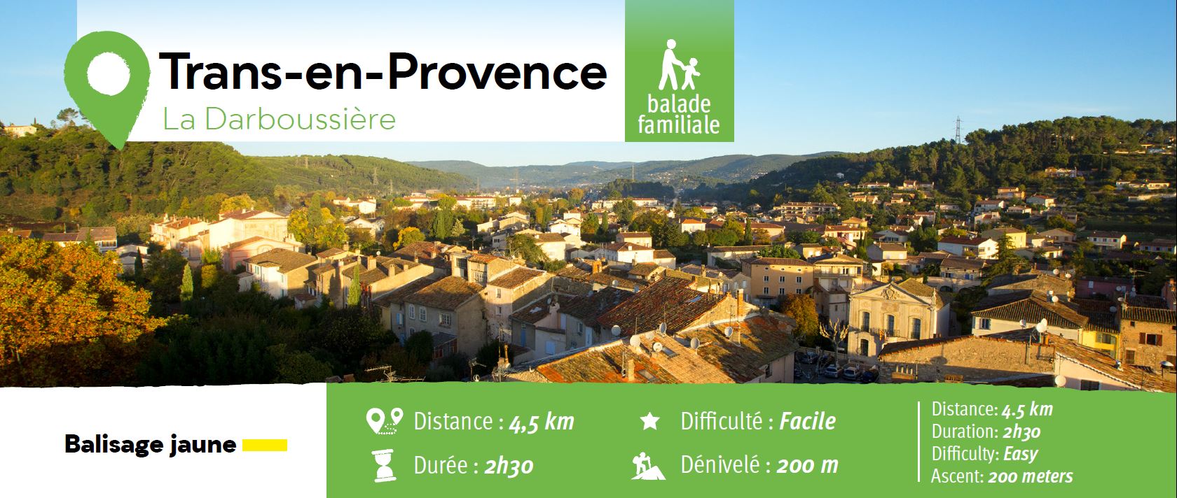
Access by road D54 to Draguignan.
From the carpark (1). Follow the pathway heading straight on upward untill the large track (2).
Take on right and follow up to a tank, leave it on your left and follow the path as it curves to the right (3)
and goes downhill until a wider track (4).
Follow the track on your left uphill, then leave the track and take right (5) a path downhill to a junction (6).
Here, turn right down the hill until a wider trail.
Take it left untill the hairpin bend, take left and carry on uphill until a junction (7). Follow the path forward to a larger track.
Turn right and walk to the junction with the tank (3).
Leave it to your left and go onto the trail heading down the hill to the valley floor (8).
Turn left and follow the rive for 25 m, (9) turn left and go uphill continue up to the plateau and walk until the trail (2).
Turn right and retrace your steps then left on a path downhill to reach the car park



Family walk – Trans en Provence – La Darboussière Distance: 4.5 km Duration: 2h30 Difficulty: Easy Elevation: 200 m Access by road D54 to Draguignan. From the carpark (1).

Digital walk – Trans en Provence – The Calant loop Distance: 1.6 km Duration: 40 min Difficulty: Easy Elevation: 0 m Departure facing the pharmacy, take the stairs then follow
Family walk – Bargemon – La table d’orientation Distance A/R: 9 km Duration A/R: 3h Difficulty: Easy Elevation: 400 m Head past the gendarmerie and follow direction to Col du