Family walk – Bargemon – La table d’orientation
Family walk – Bargemon – La table d’orientation Distance A/R: 9 km Duration A/R: 3h Difficulty: Easy Elevation: 400 m Head past the gendarmerie and follow direction to Col du
Family walk – Bargemon – La table d’orientation Distance A/R: 9 km Duration A/R: 3h Difficulty: Easy Elevation: 400 m Head past the gendarmerie and follow direction to Col du
Family walk – Vidauban – Le bois du Rouquan Distance : 4,1 km Duration : 2 h Difficulty: Easy Elevation: 45 m From Vidauban, go onto RD48 to La Garde Freinet
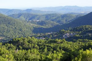
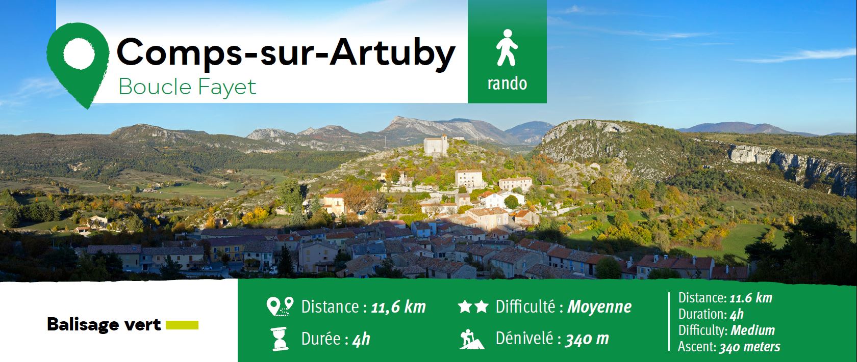
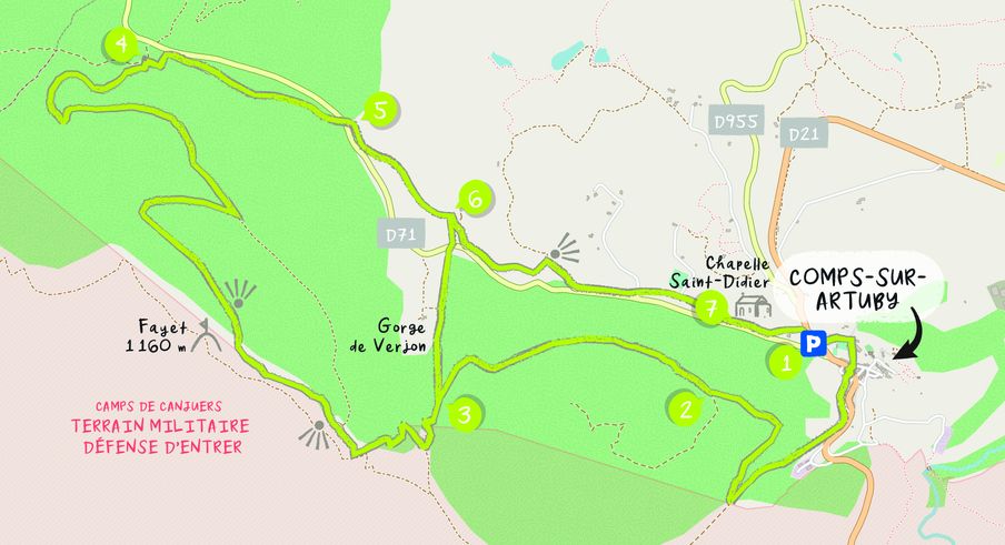
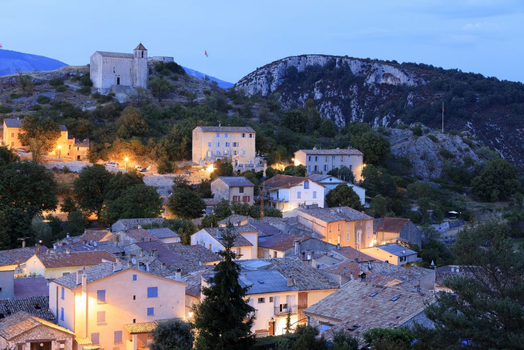
Hiking – Comps-sur-Artuby – Boucle Fayet Distance: 11.6 km Duration: 4 hours Difficulty: Medium Elevation: 340 m Carpark on the outskirts of Comps-sur-Artuby village. (1) From the carpark go onto