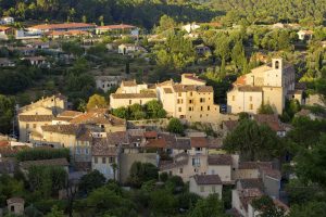
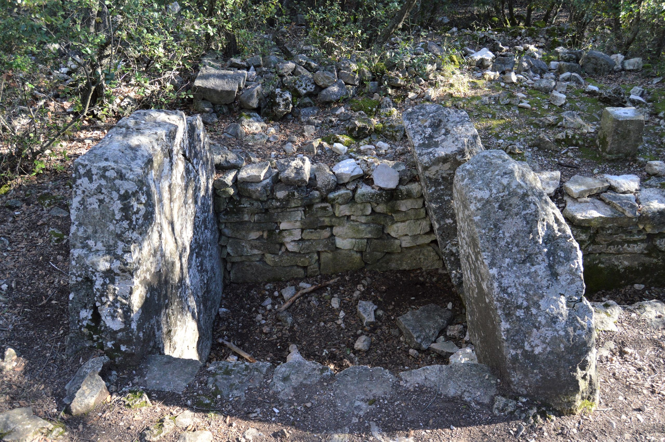
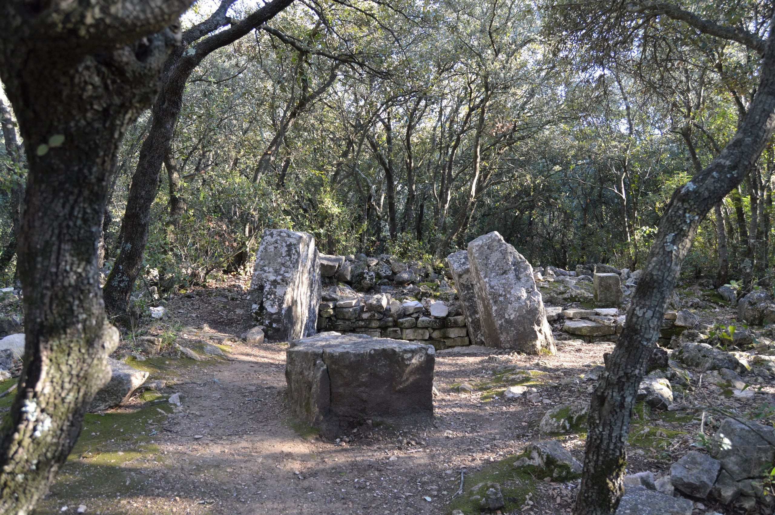
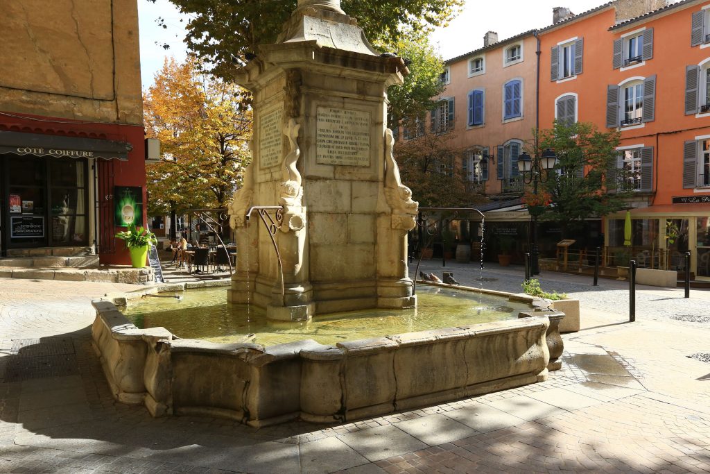
Family walk – Figanières – La Voie Romaine
Family walk – Figanières – La Voie Romaine Distance: 9 km Duration: 3h Difficulty: Easy Elevation: 200 m Parking Saint-Joseph entrance of the village on the left (1). Facing the
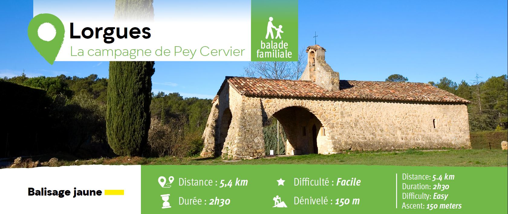
Family walk – Figanières – La Voie Romaine Distance: 9 km Duration: 3h Difficulty: Easy Elevation: 200 m Parking Saint-Joseph entrance of the village on the left (1). Facing the
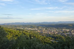
Family walk – Draguignan – Sentier botanique et Sentier des arbousiers Distance A: 1.1 km Distance B: 1.6 km Duration A: 22 min. Duration B: 30 mins. Difficulty: Easy Elevation:
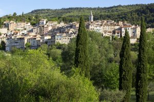
Family walk – Callas – La chapelle Saint Auxile Distance: 9 km Duration: 3h Difficulty: Easy Elevation: 110 m Carpark (1): Place du 18 juin, down the village. Take