Sports hike – Le Muy – L’Endre et le moulin de Gournié
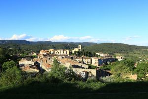
Sports hike – Le Muy – L’Endre et le moulin de Gournié Distance: 10 km Duration: 3h30 Difficulty: Difficult Elevation: 250 m From Le Muy, go onto the RD25 road
Sports hike – Le Muy – L’Endre et le moulin de Gournié Distance: 10 km Duration: 3h30 Difficulty: Difficult Elevation: 250 m From Le Muy, go onto the RD25 road
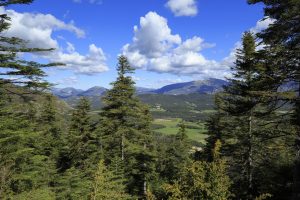
Hiking – La Bastide – Le Lachens 332 / 5 000 Résultats de traduction Distance: 11.2 km Duration: 4 hours Difficulty: Difficult Elevation: 800 m (1) Start from La Bastide church.
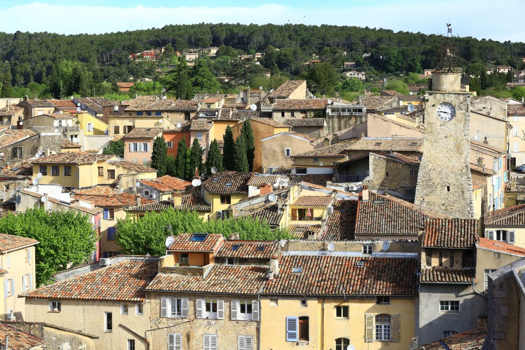
Hiking – Flayosc – Peylong / Figueiret Distance: 8 km Duration: 2h30 Difficulty: Medium Elevation: 250 m From the village (1) pass under the porch next to the post office