![](https://tourisme.dracenie.com/wp-content/uploads/2021/09/salernes-CMOIRENC_115088-300x200.jpg)
Hiking – Salernes / Salernes Vieille – Le Tholos de la Lauve
Hiking – Salernes / Salernes Vieille – Le Tholos de la Lauve Distance: 4.5 km Duration: 1h40 Difficulty: Medium Elevation: 280 m CAUTION MODIFICATION OF ROUTE Go from point 1
Car park at the former railway station, on “Route du
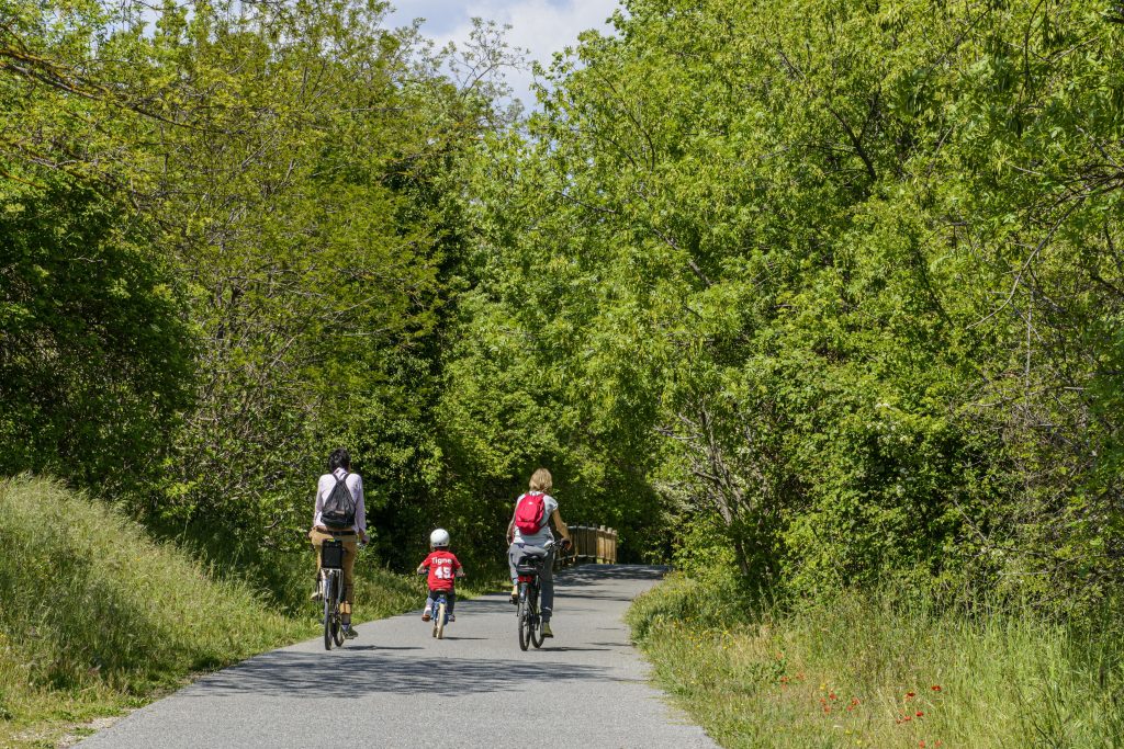
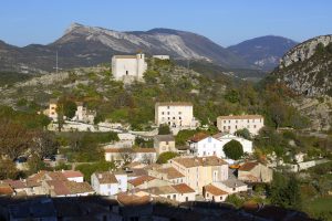
 Plan”.
Go onto the “Vigne à Vélo” until you reach Notre- Dame junction (1).
From this point, go onto Les Arcs-sur-Argens road up to “Chemin de la Croix”. Follow the pathway on your right going uphill (2).
Walk to the very top of “Chemin de la Croix” pathway.
At the selective sorting centre, keep onto “Chemin des Suous”. Turn right onto “Chemin du puits” and follow it until you reach the Escombes slope.
Turn left (3) and turn left again until you meet “Lotissement les Escombes”.
Keep ahead and follow “Montée de la Cotte” until the air well on your right.
Visit the air well and follow the road downhill and take left onto the path heading to the station and the carpark.
Hiking – Salernes / Salernes Vieille – Le Tholos de la Lauve Distance: 4.5 km Duration: 1h40 Difficulty: Medium Elevation: 280 m CAUTION MODIFICATION OF ROUTE Go from point 1
Family walk – Figanières – La Voie Romaine Distance: 9 km Duration: 3h Difficulty: Easy Elevation: 200 m Parking Saint-Joseph entrance of the village on the left (1). Facing the
Hiking – Flayosc – Peylong / Figueiret Distance: 8 km Duration: 2h30 Difficulty: Medium Elevation: 250 m From the village (1) pass under the porch next to the post office
© Dracénie Provence Verdon Tourisme 2022