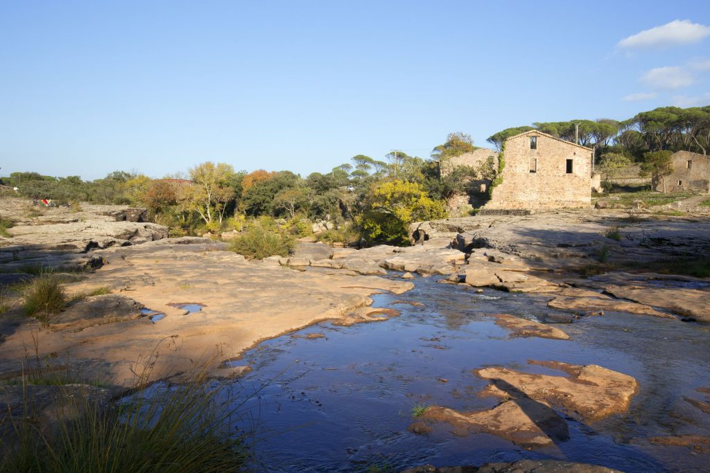
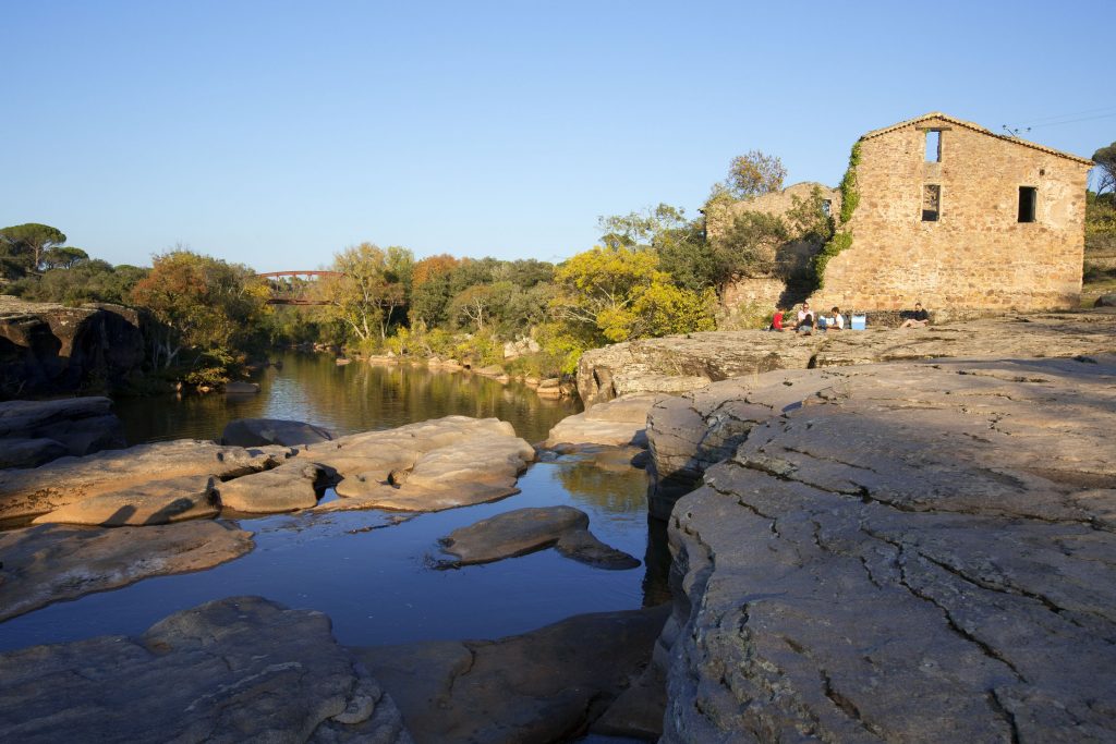
Family walk – Lorgues – La campagne de Pey-Cervier
Family walk – Lorgues – La campagne de Pey-Cervier Distance: 5.4 km Duration: 2h30 Difficulty: Easy Elevation: 150 m Departure and parking Saint-Jaume hamlet (1) on Road D 562.
Family walk – Lorgues – La campagne de Pey-Cervier Distance: 5.4 km Duration: 2h30 Difficulty: Easy Elevation: 150 m Departure and parking Saint-Jaume hamlet (1) on Road D 562.
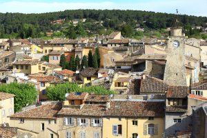
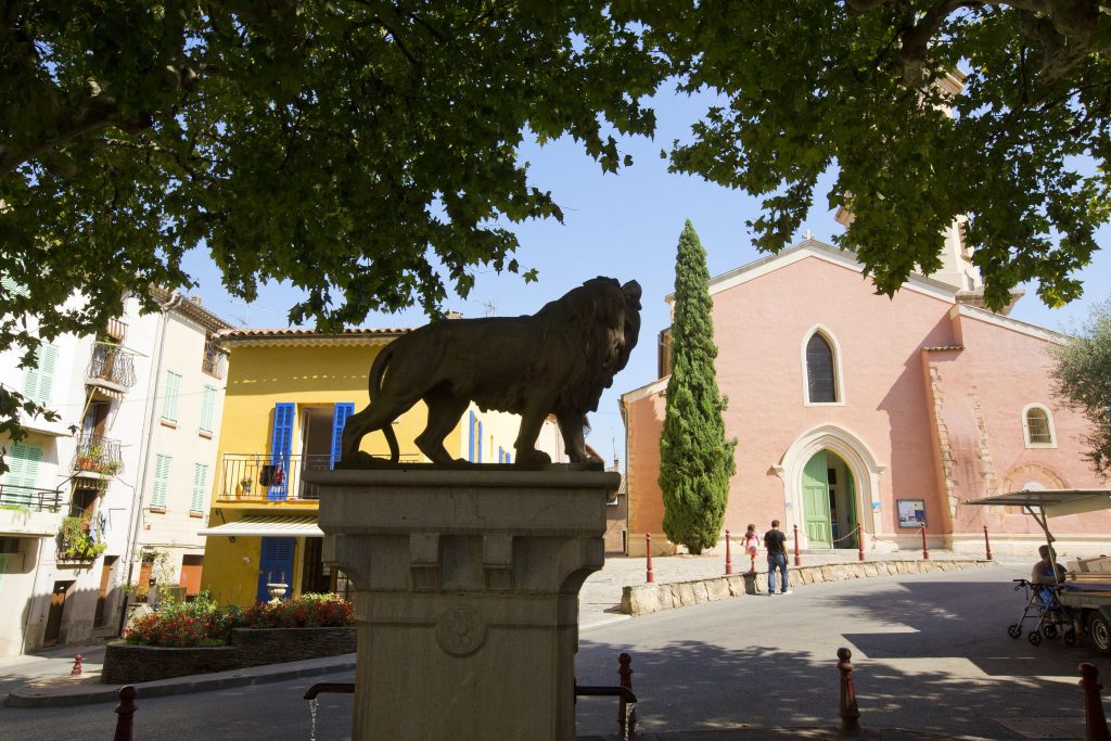
Family walk – Lorgues – Saint Ferréol Distance: 4 km Duration: 2 hours Difficulty: Easy Elevation: 220 m Carpark: tourism board. From the carpark, head the Saracen door and