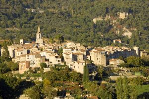
Family walk – Bargemon – Favas et le bois de la Coste
Family walk – Bargemon – Favas et le bois de la Coste Distance: 10 km Duration: 3h20 Difficulty: Easy Elevation: 100 m Start from the village square (1) Follow François
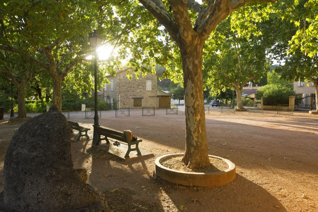
Family walk – Bargemon – Favas et le bois de la Coste Distance: 10 km Duration: 3h20 Difficulty: Easy Elevation: 100 m Start from the village square (1) Follow François
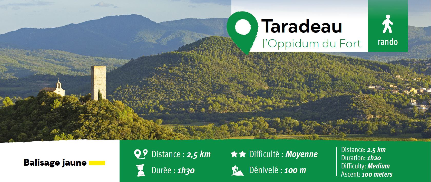
Hiking – Flayosc – Peylong / Figueiret Distance: 8 km Duration: 2h30 Difficulty: Medium Elevation: 250 m From the village (1) pass under the porch next to the post office
Family walk – Draguignan – Sentier botanique et Sentier des arbousiers Distance A: 1.1 km Distance B: 1.6 km Duration A: 22 min. Duration B: 30 mins. Difficulty: Easy Elevation: