Hiking – Salernes – Le Tholos de la Lauve
Hiking – Salernes – Le Tholos de la Lauve Distance: 4.4 km Duration: 1h15 Difficulty: Medium Elevation: 208 m Carpark: La Muie. Retrace your steps to Parouvier round about (1).
1st itinerary
(1) From Folletiere “wash house” go on chemin de Folletiere for 300 m. Leave the road and turn left onto the bridge.
Walk along the Canal (2) (Mills canal) for 500 m. Cross the two way road (A), keep going along the canal for 650 m.
(3) Dolmen on your right.
30 to 40 m further, go back on Montferrat Avenue for 300 m, drop off the Avenue to follow the canal for 300 m.
(B) Cross the two way road and walk alongside the canal C) Cross road (be careful). Take a left turn and walk alongside the canal for 300 m.
4) Follow Domaine du Dragon trail and ontinue as it curves to the left past the old house.
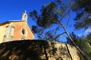
Keep walking for 1 km to reach (5) Saint-Michel Chapel. At an electric fencing, left turn on the track taking you (6) through the vineyard.
Left turn on the pathway downhill (6) to the Castrum.
2nd itinerary
(1) From Folletiere “wash house” go on “Boulevard Joseph Collomp” until (8) “Chemin du Coutelet”.
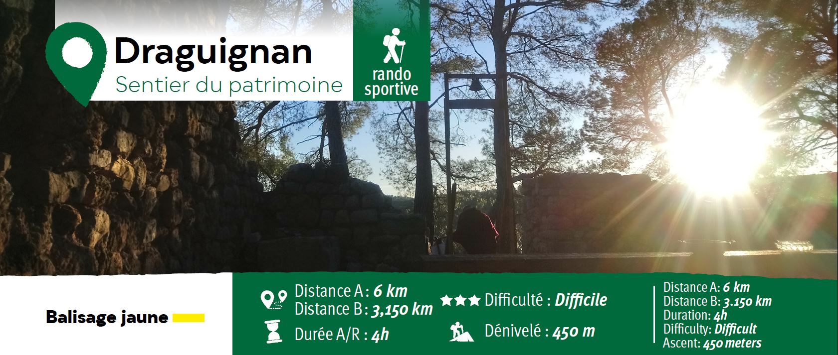
Walk for 1.1 km to reach the Malmont and “arbousiers trail” (blue mark) (9). When at the Malmont parking, reach the point of view (10) then follow the yellow mark to the tower (11) and come back by the botanic trail (green mark) on your left then the parking and the same way as coming to reach back Folletière.

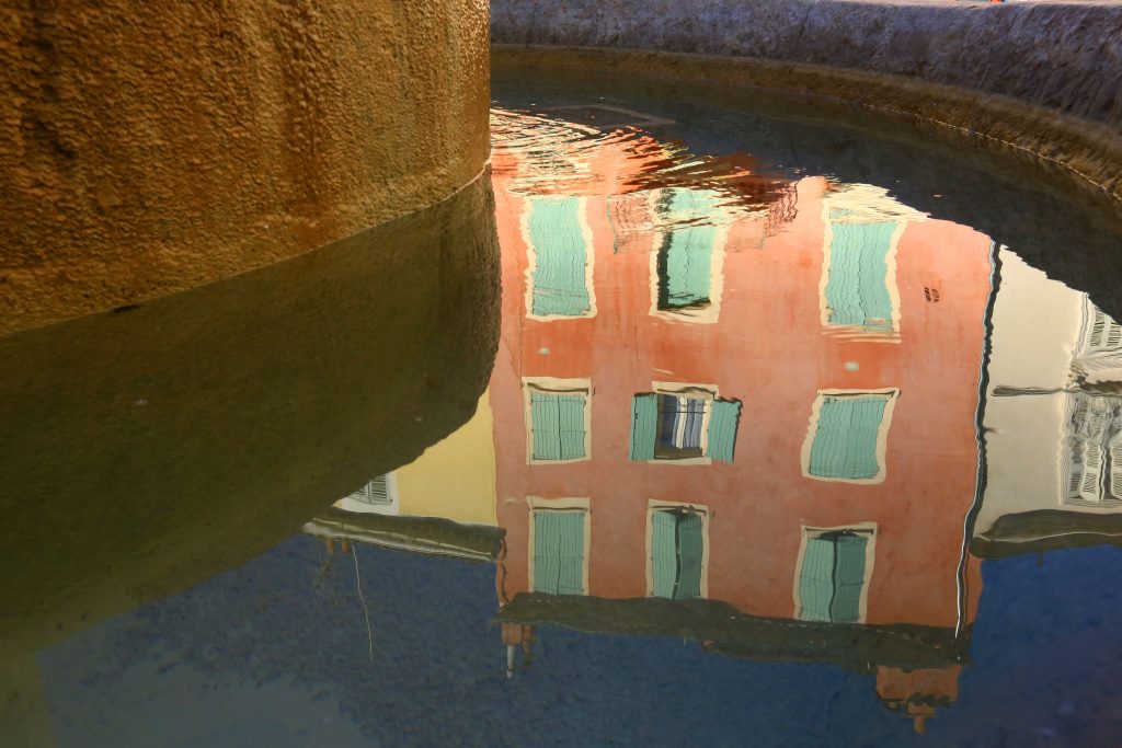
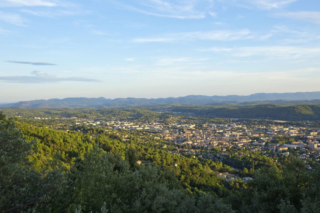

Hiking – Salernes – Le Tholos de la Lauve Distance: 4.4 km Duration: 1h15 Difficulty: Medium Elevation: 208 m Carpark: La Muie. Retrace your steps to Parouvier round about (1).
Family walk – Comps-sur-Artuby – Clos de Siounet Distance: 3.5 km Duration: 1h30 Difficulty: Easy Elevation: 100 m Siounet carpark (RD71). (1) From the car park take the south uphill
Family walk – Bargemon – La table d’orientation Distance A/R: 9 km Duration A/R: 3h Difficulty: Easy Elevation: 400 m Head past the gendarmerie and follow direction to Col du