Digital walk – Trans en Provence – The Calant loop
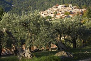
Digital walk – Trans en Provence – The Calant loop Distance: 1.6 km Duration: 40 min Difficulty: Easy Elevation: 0 m Departure facing the pharmacy, take the stairs then follow
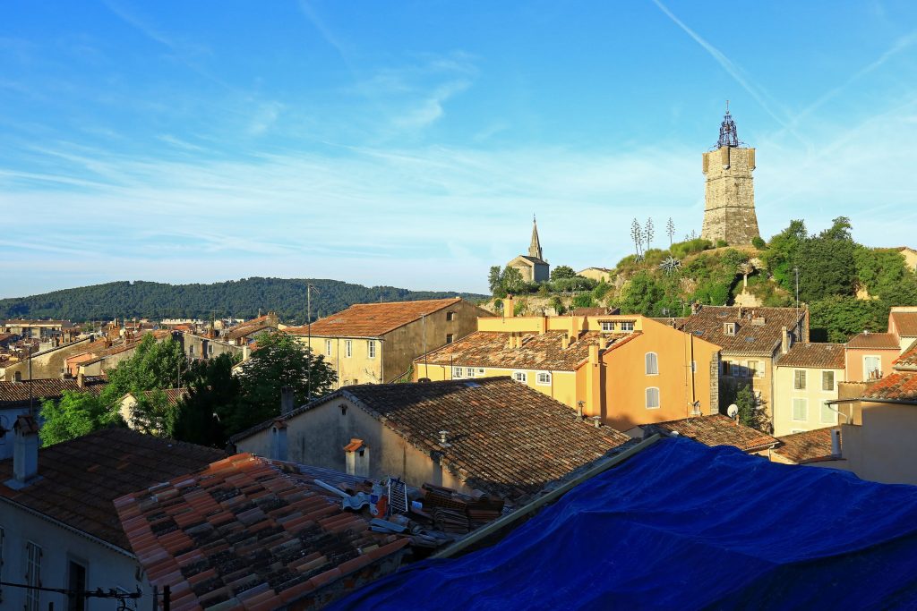
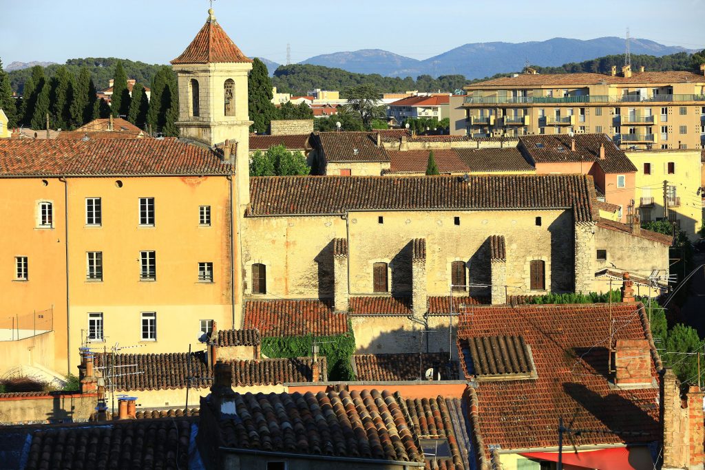
Digital walk – Trans en Provence – The Calant loop Distance: 1.6 km Duration: 40 min Difficulty: Easy Elevation: 0 m Departure facing the pharmacy, take the stairs then follow
Family walk – Lorgues – Saint Ferréol Distance: 4 km Duration: 2 hours Difficulty: Easy Elevation: 220 m Carpark: tourism board. From the carpark, head the Saracen door and
Hiking – Salernes – Le Tholos de la Lauve Distance: 4.4 km Duration: 1h15 Difficulty: Medium Elevation: 208 m Carpark: La Muie. Retrace your steps to Parouvier round about (1).
Family walk – Claviers – La forêt du Puy – Chapelle Sainte Anne – L’Oppidum Distance A: 6.5 km Distance B: 5.2 km Duration A: 2h Duration B: 1h45 Difficulty: