Family walk – Lorgues – La campagne de Pey-Cervier
Family walk – Lorgues – La campagne de Pey-Cervier Distance: 5.4 km Duration: 2h30 Difficulty: Easy Elevation: 150 m Departure and parking Saint-Jaume hamlet (1) on Road D 562.
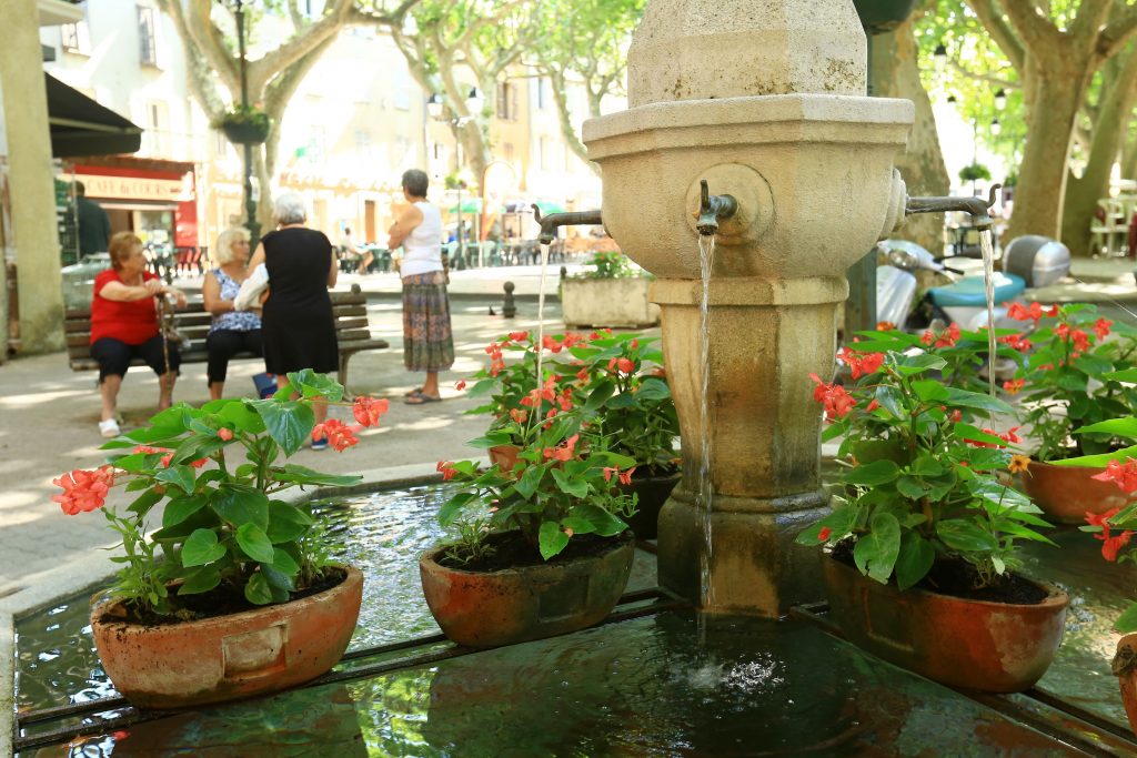
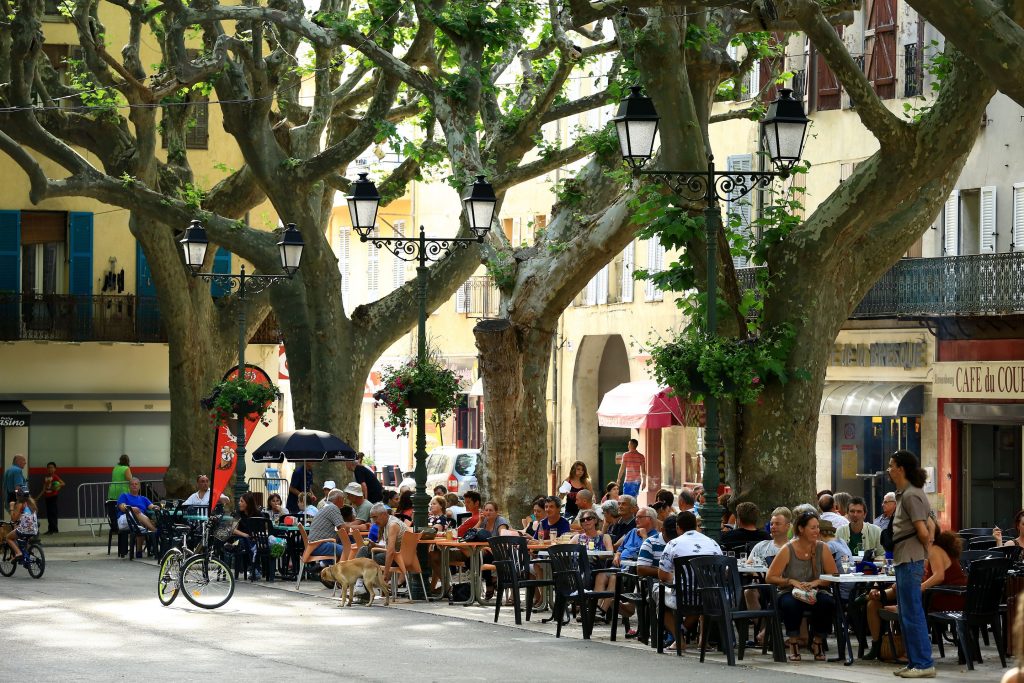
Family walk – Lorgues – La campagne de Pey-Cervier Distance: 5.4 km Duration: 2h30 Difficulty: Easy Elevation: 150 m Departure and parking Saint-Jaume hamlet (1) on Road D 562.
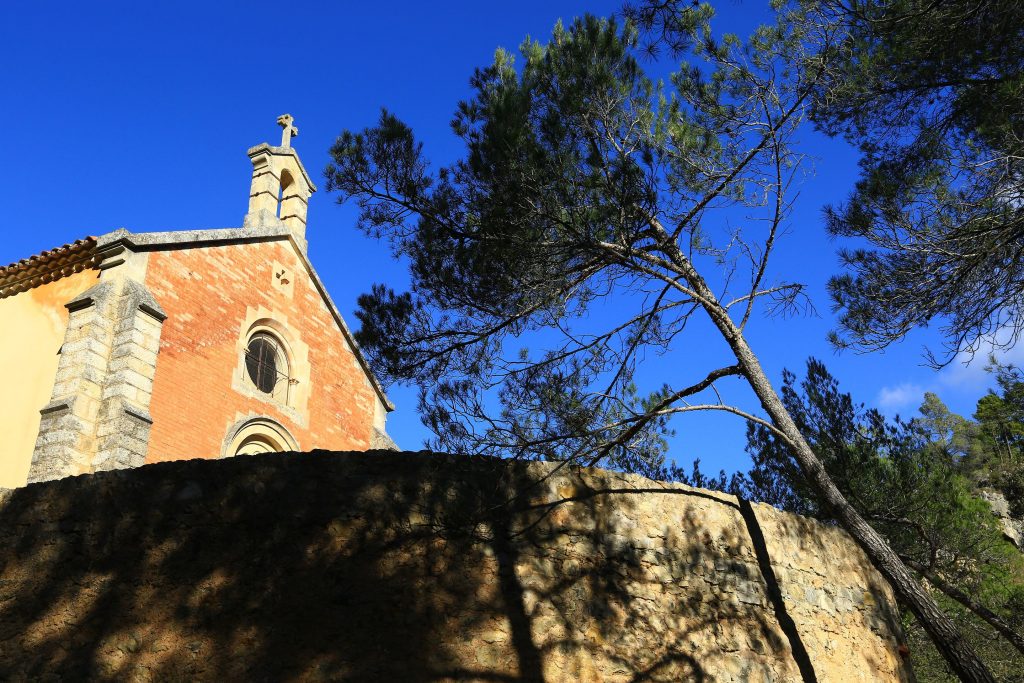
Family walk – Vidauban – Le bois du Rouquan Distance : 4,1 km Duration : 2 h Difficulty: Easy Elevation: 45 m From Vidauban, go onto RD48 to La Garde Freinet

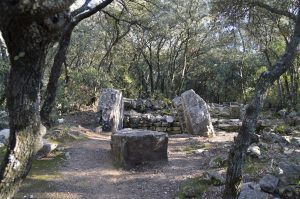
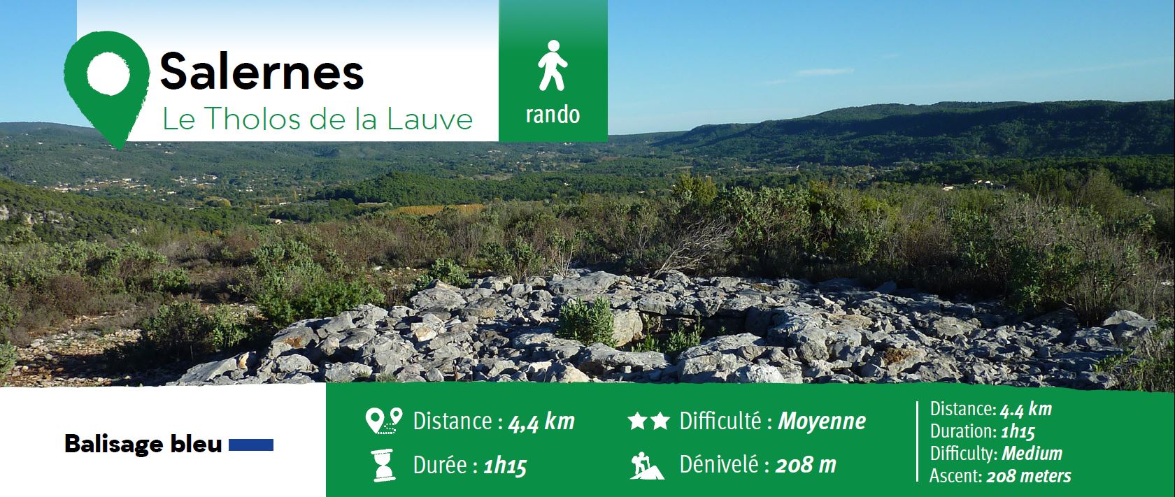
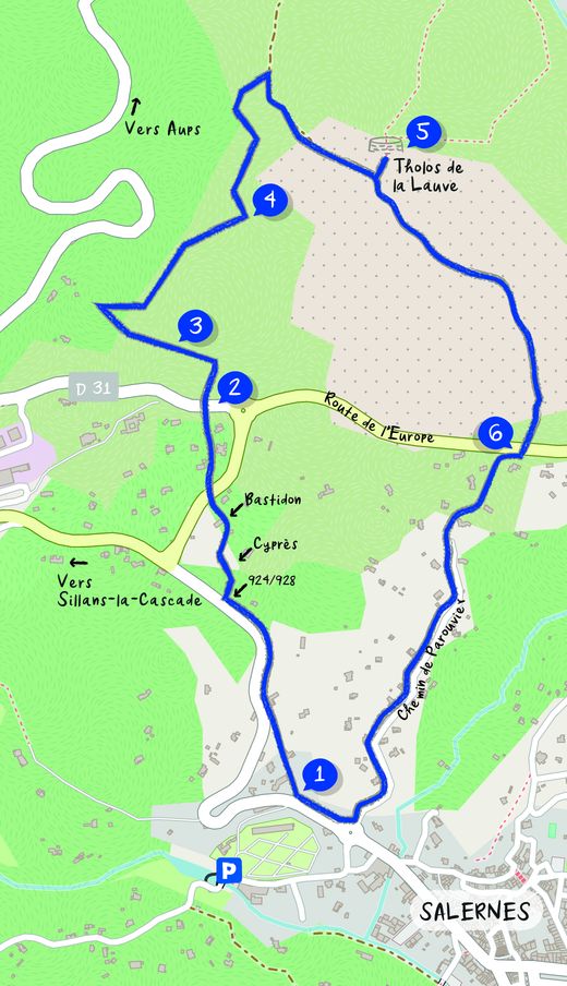
Hiking – Salernes / Salernes Vieille – Le Tholos de la Lauve Distance: 4.5 km Duration: 1h40 Difficulty: Medium Elevation: 280 m CAUTION MODIFICATION OF ROUTE Go from point 1