Family walk – Comps-sur-Artuby – Clos de Siounet
Family walk – Comps-sur-Artuby – Clos de Siounet Distance: 3.5 km Duration: 1h30 Difficulty: Easy Elevation: 100 m Siounet carpark (RD71). (1) From the car park take the south uphill
Family walk – Comps-sur-Artuby – Clos de Siounet Distance: 3.5 km Duration: 1h30 Difficulty: Easy Elevation: 100 m Siounet carpark (RD71). (1) From the car park take the south uphill
Sports hike – Draguignan – sentier du patrimoine Distance A: 6 km Distance B: 3.150 km Duration A/R: 4h Difficulty: Difficult Elevation: 450 m 1st itinerary (1) From Folletiere “wash
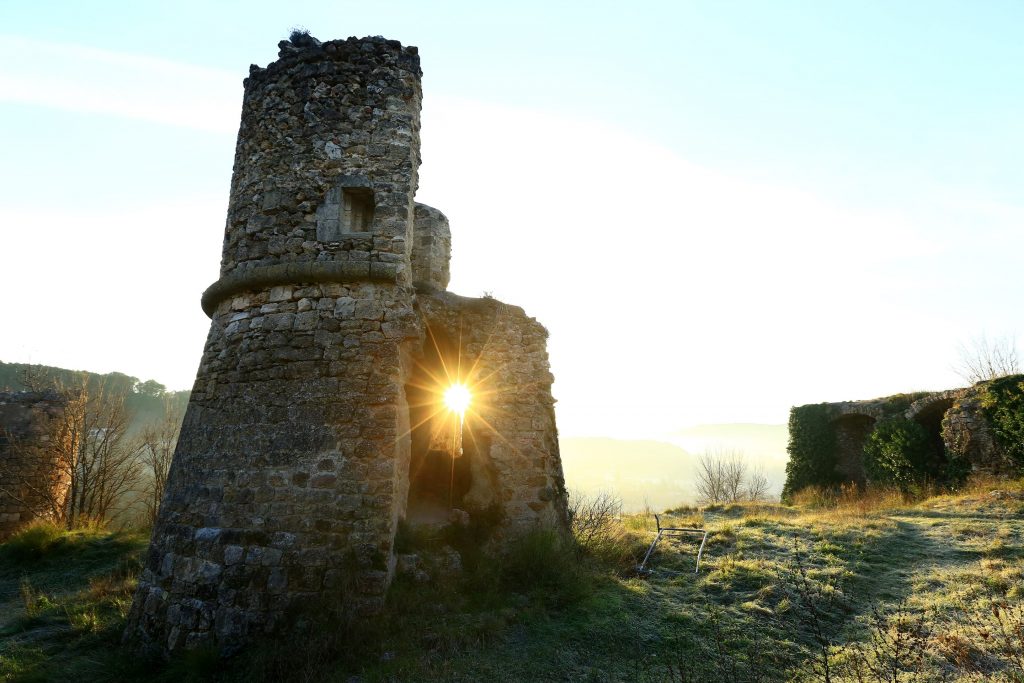
Hiking – Comps-sur-Artuby – Boucle Fayet Distance: 11.6 km Duration: 4 hours Difficulty: Medium Elevation: 340 m Carpark on the outskirts of Comps-sur-Artuby village. (1) From the carpark go onto
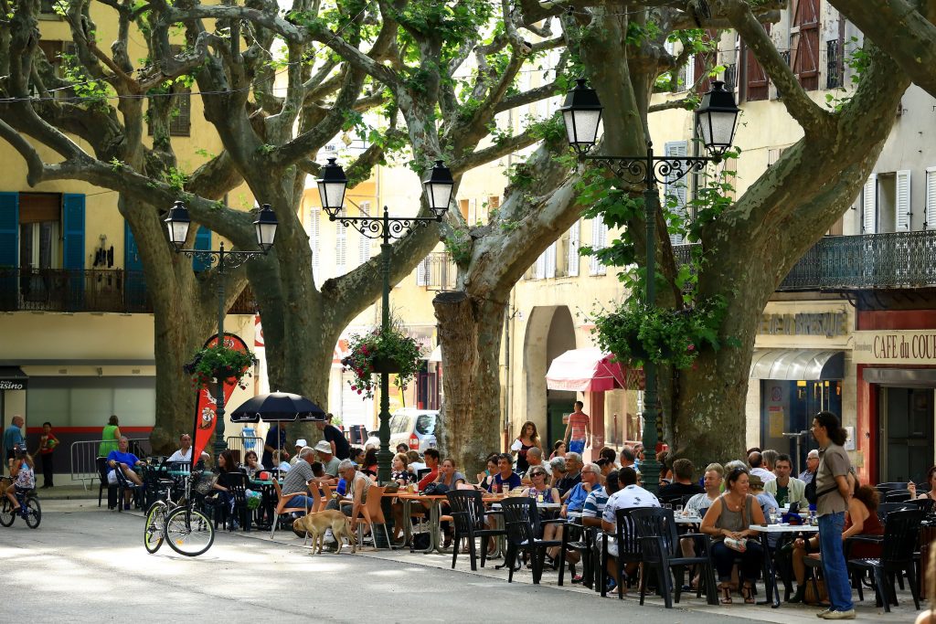
Digital walk – Draguignan – The water path Departure from rue Roumanille, behind the ATP Museum*. A mobile application allowing you to discover the old center of Draguignan as it