Digital walk – Draguignan – The water path
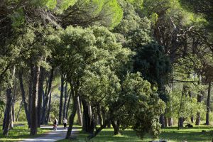
Digital walk – Draguignan – The water path Departure from rue Roumanille, behind the ATP Museum*. A mobile application allowing you to discover the old center of Draguignan as it
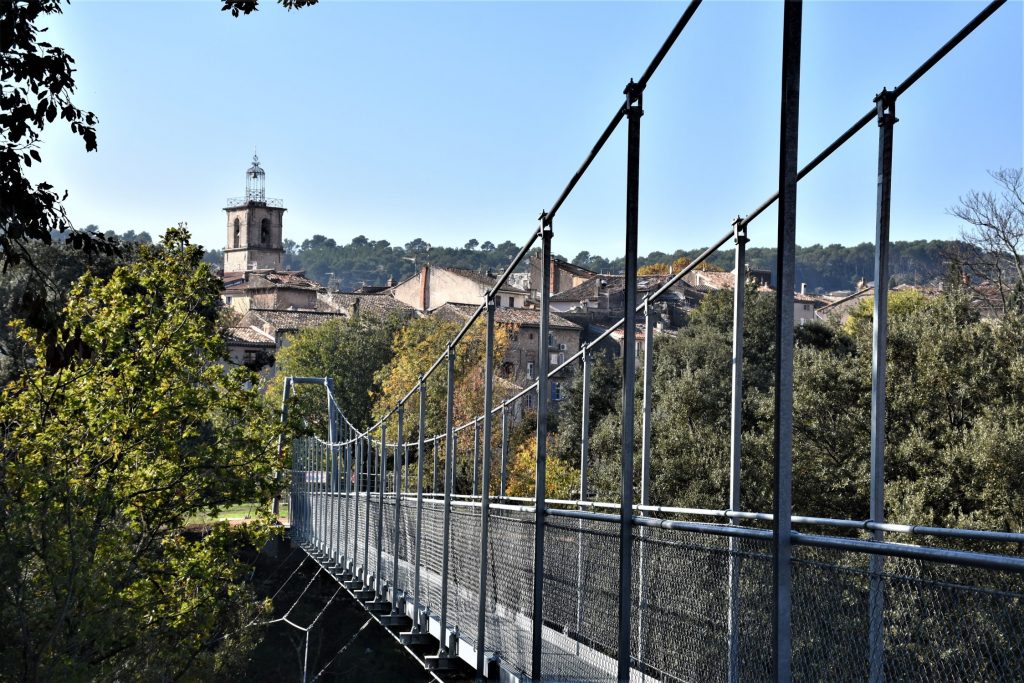
Digital walk – Draguignan – The water path Departure from rue Roumanille, behind the ATP Museum*. A mobile application allowing you to discover the old center of Draguignan as it
Sports hike – Le Muy – L’Endre et le moulin de Gournié Distance: 10 km Duration: 3h30 Difficulty: Difficult Elevation: 250 m From Le Muy, go onto the RD25 road
Family walk – Lorgues – Saint Ferréol Distance: 4 km Duration: 2 hours Difficulty: Easy Elevation: 220 m Carpark: tourism board. From the carpark, head the Saracen door and
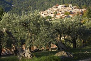
Family walk – Claviers – La forêt du Puy – Chapelle Sainte Anne – L’Oppidum Distance A: 6.5 km Distance B: 5.2 km Duration A: 2h Duration B: 1h45 Difficulty: