Family walk – Bargemon – La table d’orientation
Family walk – Bargemon – La table d’orientation Distance A/R: 9 km Duration A/R: 3h Difficulty: Easy Elevation: 400 m Head past the gendarmerie and follow direction to Col du
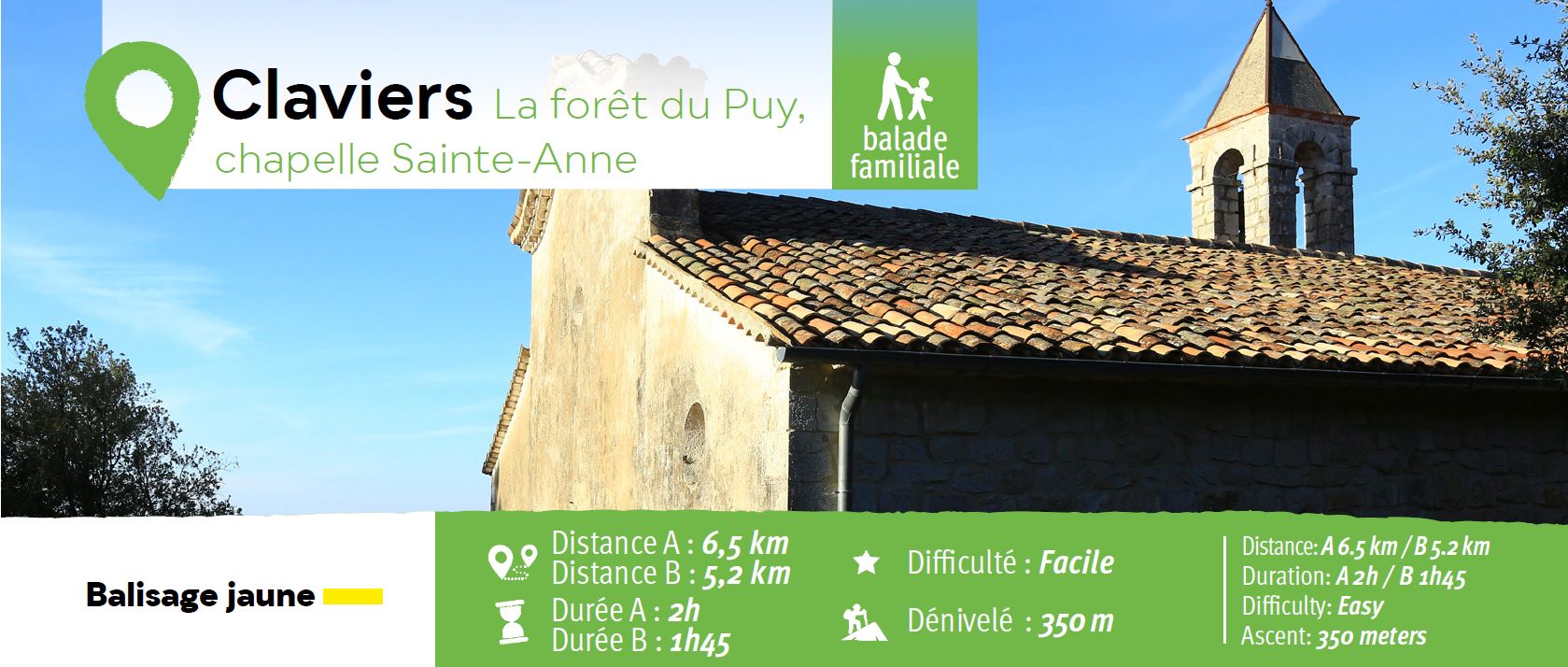
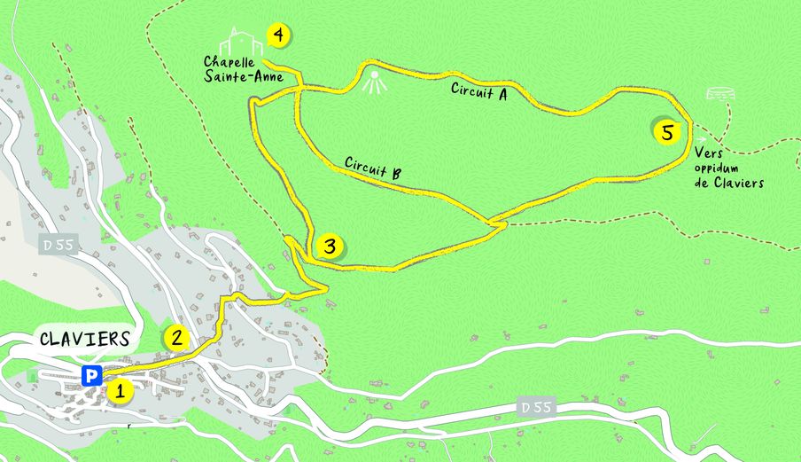
(1) Car park at the intrance.
The village walk starts from the secondary road to the right of the church.
From the school, leave the main road (2), to chemin Sainte-Anne follow the path steeply uphill further 200 m, then take a left turn onto an asphalt road until the reservoir.
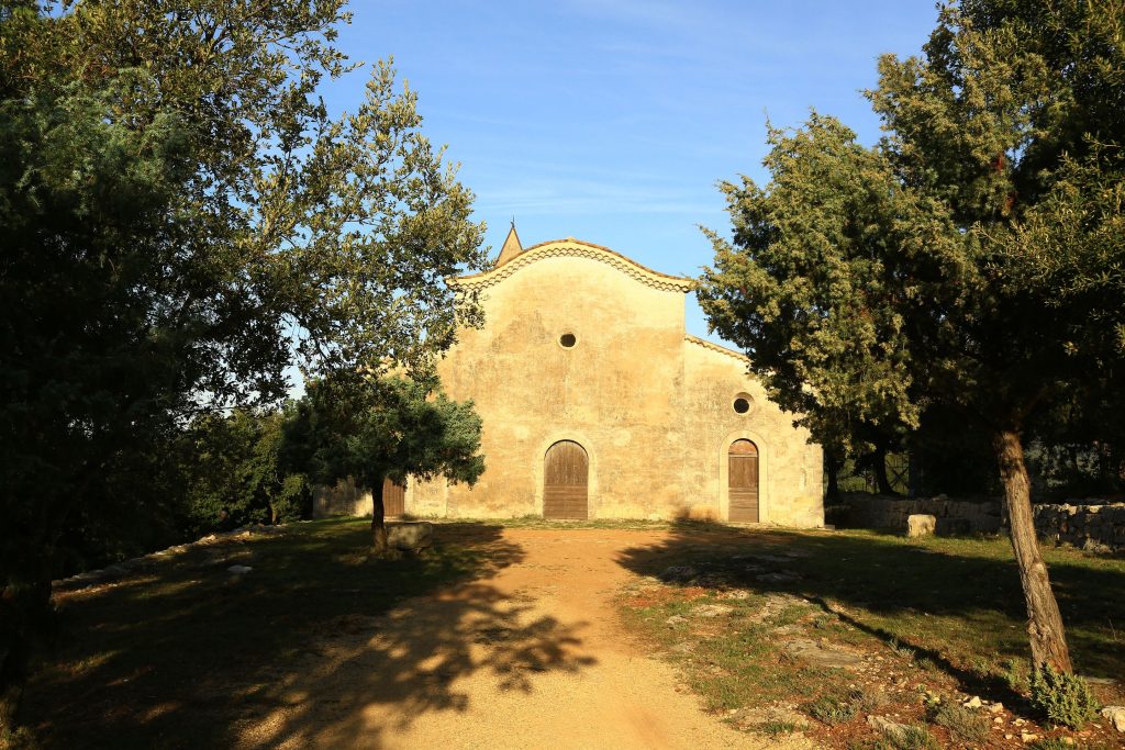
At the reservoir (3), turn left onto a pathway aiming for Sainte-Anne Chapel.
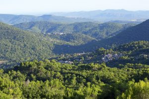
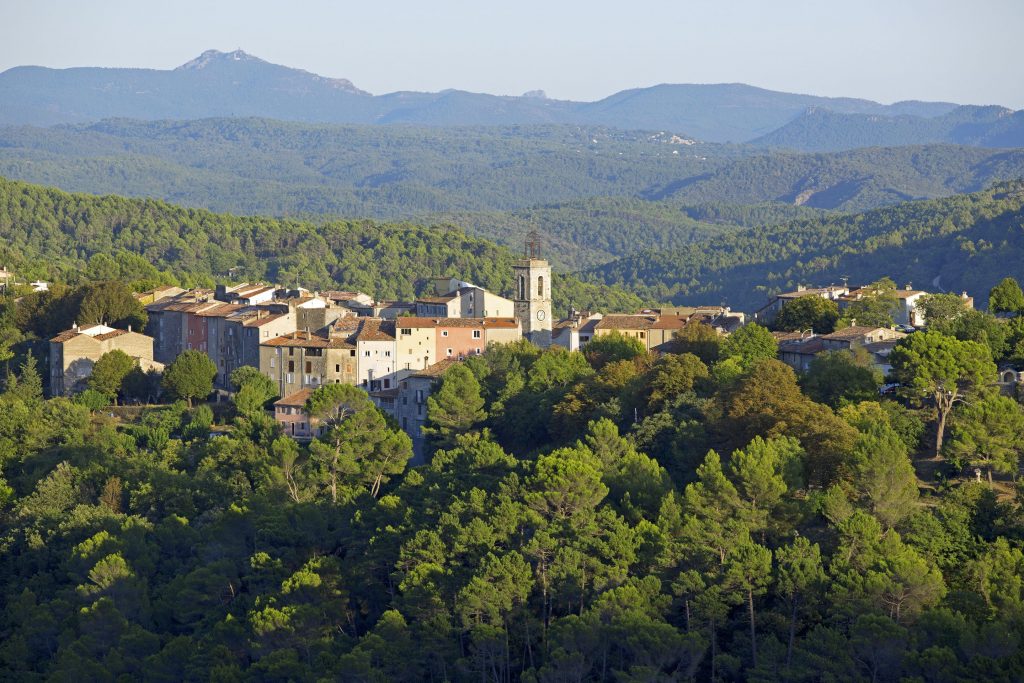
On your right, view over Claviers and Bargemon (4).
To return, 3 options :
To your right : back onto the path you followed at the beginning of the waymarked walk.
Continue straight on : back to waymarked trail B.
To your left : back to waymarked trail A.
At the crossroads (5) you can reach the oppidum (turn left then 100 m further left again and uphill) or going on your right to reach the reservoir (3), and back to Claviers.

Family walk – Bargemon – La table d’orientation Distance A/R: 9 km Duration A/R: 3h Difficulty: Easy Elevation: 400 m Head past the gendarmerie and follow direction to Col du
Family walk – Trans en Provence – Le puits aérien Distance: 5 km Duration: 1h40 Difficulty: Easy Elevation: 100 m Car park at the former railway station, on “Route du
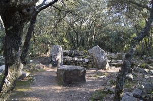
Family walk – Lorgues – La campagne de Pey-Cervier Distance: 5.4 km Duration: 2h30 Difficulty: Easy Elevation: 150 m Departure and parking Saint-Jaume hamlet (1) on Road D 562.