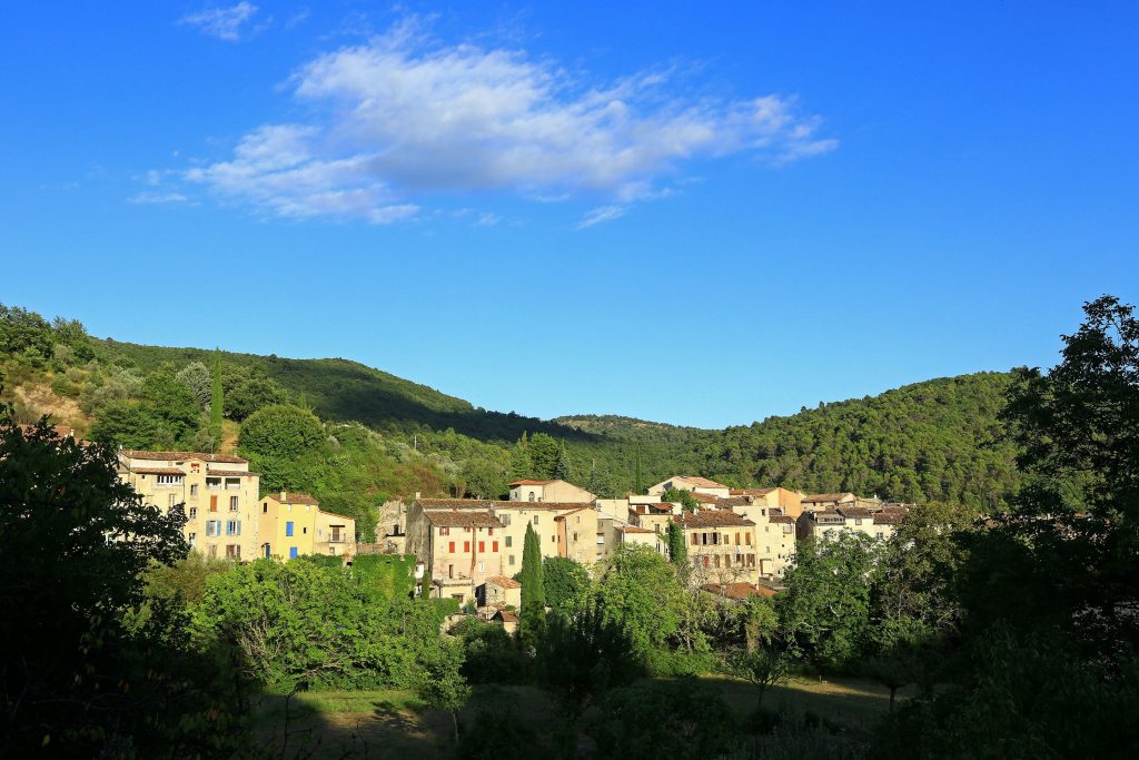
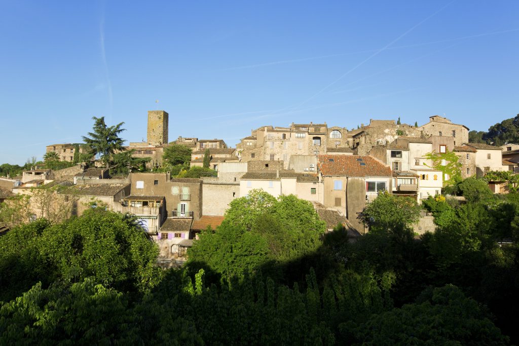
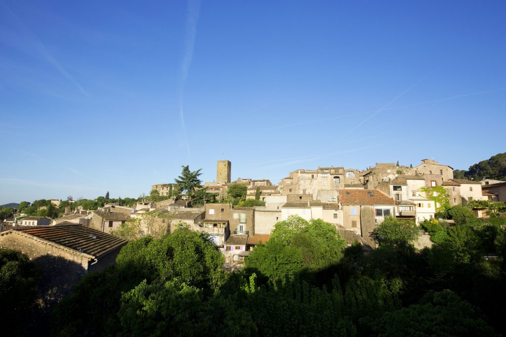
Family walk – Draguignan – Sentier botanique et Sentier des arbousiers
Family walk – Draguignan – Sentier botanique et Sentier des arbousiers Distance A: 1.1 km Distance B: 1.6 km Duration A: 22 min. Duration B: 30 mins. Difficulty: Easy Elevation: 400 m From the Malmont car park, cross over the road: From the water tower, start following the blue waymarks. A few meters ahead, […]
READ MORE