Family walk – Draguignan – Sentier botanique et Sentier des arbousiers
Family walk – Draguignan – Sentier botanique et Sentier des arbousiers Distance A: 1.1 km Distance B: 1.6 km Duration A: 22 min. Duration B: 30 mins. Difficulty: Easy Elevation:
Family walk – Draguignan – Sentier botanique et Sentier des arbousiers Distance A: 1.1 km Distance B: 1.6 km Duration A: 22 min. Duration B: 30 mins. Difficulty: Easy Elevation:
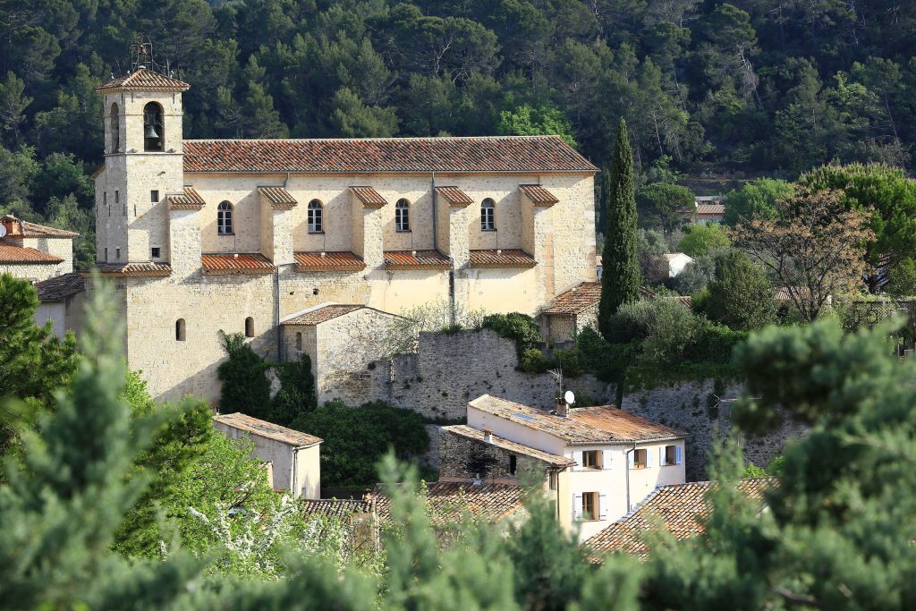
Family walk – Bargemon – La table d’orientation Distance A/R: 9 km Duration A/R: 3h Difficulty: Easy Elevation: 400 m Head past the gendarmerie and follow direction to Col du
Family walk – Vidauban – Le bois du Rouquan Distance : 4,1 km Duration : 2 h Difficulty: Easy Elevation: 45 m From Vidauban, go onto RD48 to La Garde Freinet