Family walk – Lorgues – La campagne de Pey-Cervier
Family walk – Lorgues – La campagne de Pey-Cervier Distance: 5.4 km Duration: 2h30 Difficulty: Easy Elevation: 150 m Departure and parking Saint-Jaume hamlet (1) on Road D 562.
Family walk – Lorgues – La campagne de Pey-Cervier Distance: 5.4 km Duration: 2h30 Difficulty: Easy Elevation: 150 m Departure and parking Saint-Jaume hamlet (1) on Road D 562.
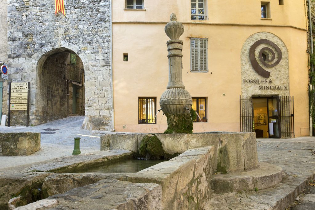
Family walk – Callas – La chapelle Saint Auxile Distance: 9 km Duration: 3h Difficulty: Easy Elevation: 110 m Carpark (1): Place du 18 juin, down the village. Take
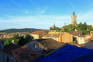
Sports hike – Draguignan – Sentier le toit du Malmont Distance: 5 km Duration: 1h45 Difficulty: Difficult Elevation: 220 m From Malmont carpark, cross the road (1) follow the purple/white