Family walk – Bargemon – Favas et le bois de la Coste
Family walk – Bargemon – Favas et le bois de la Coste Distance: 10 km Duration: 3h20 Difficulty: Easy Elevation: 100 m Start from the village square (1) Follow François
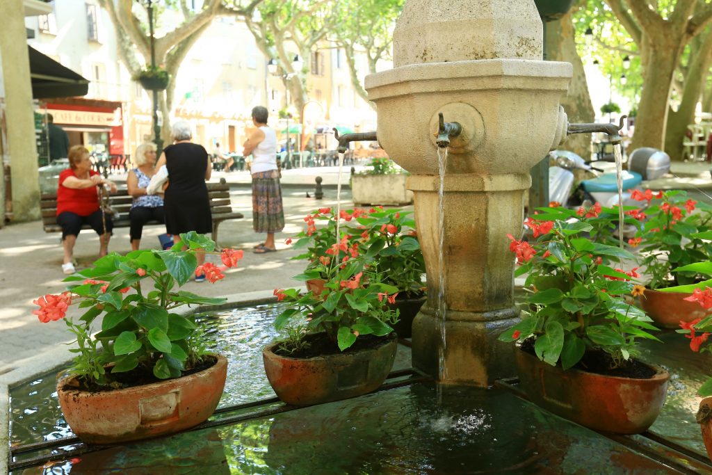
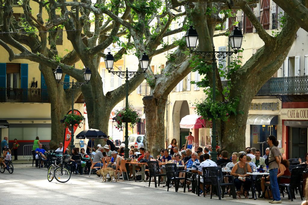
Family walk – Bargemon – Favas et le bois de la Coste Distance: 10 km Duration: 3h20 Difficulty: Easy Elevation: 100 m Start from the village square (1) Follow François
Family walk – Comps-sur-Artuby – Boucle de Siounet Distance: 2.8 km Duration: 1 hour Difficulty: Easy Elevation: 100 m Siounet carpark facing SOS signpost RD71 from road n° D71 direction

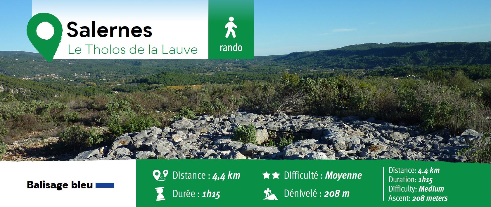
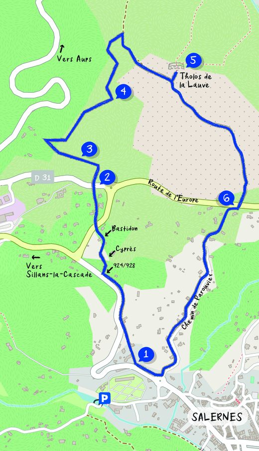
Hiking – Salernes / Salernes Vieille – Le Tholos de la Lauve Distance: 4.5 km Duration: 1h40 Difficulty: Medium Elevation: 280 m CAUTION MODIFICATION OF ROUTE Go from point 1