Hiking – Saint-Antonin-du-Var – Le Collet du Suis
Hiking – Saint-Antonin-du-Var – Le Collet du Suis Distance: 5.8 km Duration: 1h50 Difficulty: Medium Elevation: 120 m Departure from the Cemetery via “Chemin du Planouquier” to the North. Passage
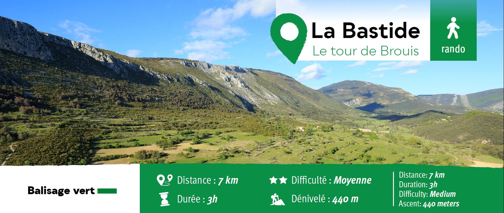
Carpark at Clavel mountain pass, between La Bastide
and La Martre.
(1) From the carpark, cross over the road and follow
the trail just opposite heading to Chateauvieux
(Maunier).
(2) Once you have met the anti wildfire barrier, follow
the Brouis uphill trail onto your left.
(3) The trail gets even narrower. Have a pause and
enjoy the stunning view on Rieu Tort valley.
(4) You can also pause for a few minutes at the pass
to enjoy the stunning view. Then follow the track
down to the Artuby gorges.
(5) The path takes you slightly uphill. Keep walking
ahead until you reach a rocky barrier. Then follow the
track heading downhill to a junction.
(6) At the junction, turn right onto a pathway that
runs along the Artuby gorges (7) At “Clos de la Ribiere” signpost, head to La Bastide and keep following Les Vanades road. You soon reach Clavel mountain pass (about 1.8 km further).
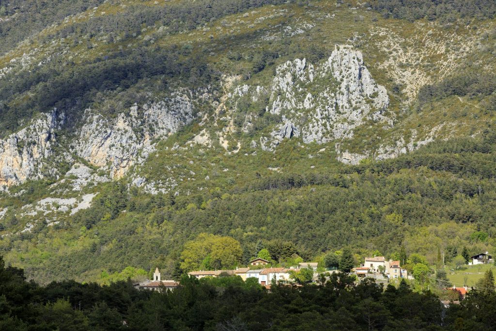

Hiking – Saint-Antonin-du-Var – Le Collet du Suis Distance: 5.8 km Duration: 1h50 Difficulty: Medium Elevation: 120 m Departure from the Cemetery via “Chemin du Planouquier” to the North. Passage
Family walk – Trans en Provence – Le puits aérien Distance: 5 km Duration: 1h40 Difficulty: Easy Elevation: 100 m Car park at the former railway station, on “Route du
Hiking – Salernes – Saint-Barthélémy, Picaillou Distance: 6.5 km Duration: 2h Difficulty: Medium Elevation: 325 m Access: road D560, direction “Site de Saint-Barthélémy”. Carpark: Site de Saint-Barthélémy. Start at the