Family walk – Comps-sur-Artuby – Boucle de Siounet
Family walk – Comps-sur-Artuby – Boucle de Siounet Distance: 2.8 km Duration: 1 hour Difficulty: Easy Elevation: 100 m Siounet carpark facing SOS signpost RD71 from road n° D71 direction
Family walk – Comps-sur-Artuby – Boucle de Siounet Distance: 2.8 km Duration: 1 hour Difficulty: Easy Elevation: 100 m Siounet carpark facing SOS signpost RD71 from road n° D71 direction
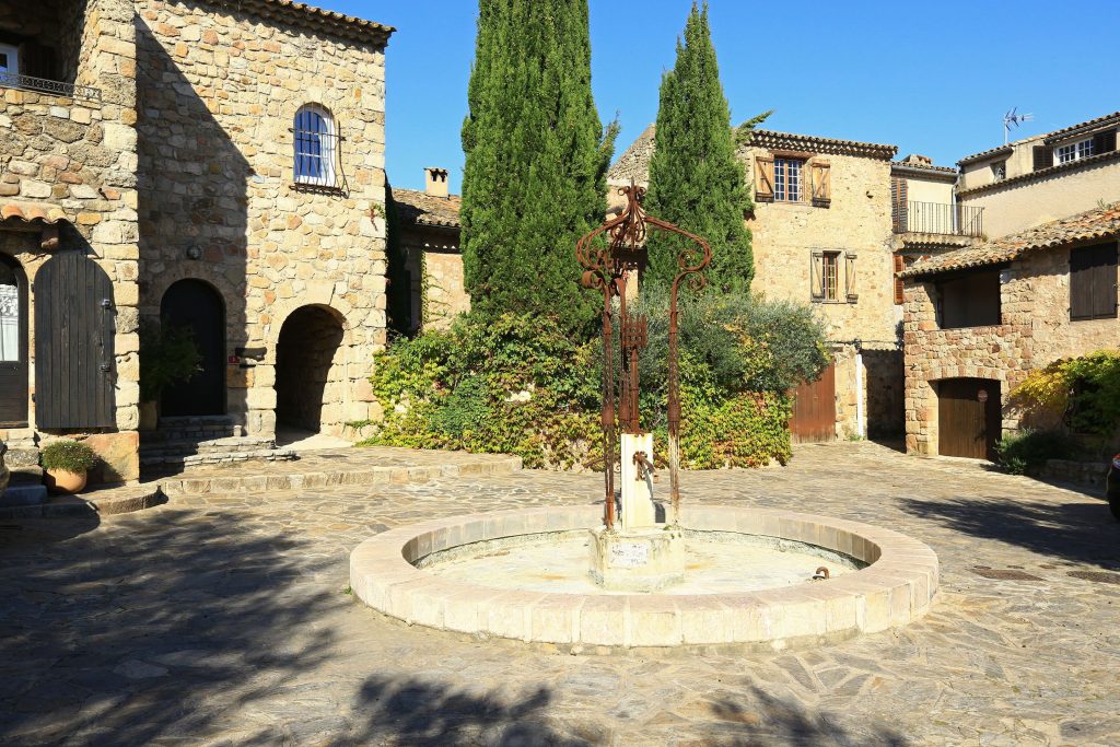
Digital walk – Draguignan – The water path Departure from rue Roumanille, behind the ATP Museum*. A mobile application allowing you to discover the old center of Draguignan as it
Hiking – Salernes – Le Tholos de la Lauve Distance: 4.4 km Duration: 1h15 Difficulty: Medium Elevation: 208 m Carpark: La Muie. Retrace your steps to Parouvier round about (1).