Vidauban – Le bois du Rouquan
Family walk – Vidauban – Le bois du Rouquan Distance : 4,1 km Duration : 2 h Difficulty: Easy Elevation: 45 m From Vidauban, go onto RD48 to La Garde Freinet
Family walk – Vidauban – Le bois du Rouquan Distance : 4,1 km Duration : 2 h Difficulty: Easy Elevation: 45 m From Vidauban, go onto RD48 to La Garde Freinet
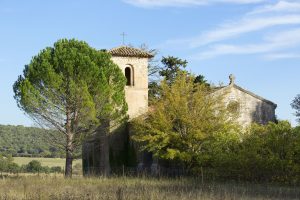
Family walk – Ampus – Notre Dame de Spéluque Distance: 8 km Duration: 2h40 Difficulty: Easy Elevation: 150 m GR waymarked trail (yellow orientation arrows) You will find the car
Digital walk – Draguignan – The water path Departure from rue Roumanille, behind the ATP Museum*. A mobile application allowing you to discover the old center of Draguignan as it