Digital walk – Trans en Provence – The Calant loop
Digital walk – Trans en Provence – The Calant loop Distance: 1.6 km Duration: 40 min Difficulty: Easy Elevation: 0 m Departure facing the pharmacy, take the stairs then follow

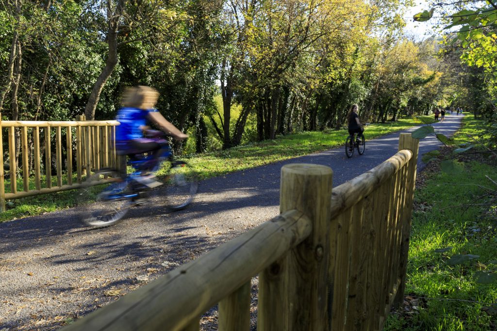

Digital walk – Trans en Provence – The Calant loop Distance: 1.6 km Duration: 40 min Difficulty: Easy Elevation: 0 m Departure facing the pharmacy, take the stairs then follow

Family walk – Bargemon – La table d’orientation Distance A/R: 9 km Duration A/R: 3h Difficulty: Easy Elevation: 400 m Head past the gendarmerie and follow direction to Col du

Hiking – La Bastide – Le Lachens 332 / 5 000 Résultats de traduction Distance: 11.2 km Duration: 4 hours Difficulty: Difficult Elevation: 800 m (1) Start from La Bastide church.