Family walk – Comps-sur-Artuby – Clos de Siounet
Family walk – Comps-sur-Artuby – Clos de Siounet Distance: 3.5 km Duration: 1h30 Difficulty: Easy Elevation: 100 m Siounet carpark (RD71). (1) From the car park take the south uphill
Family walk – Comps-sur-Artuby – Clos de Siounet Distance: 3.5 km Duration: 1h30 Difficulty: Easy Elevation: 100 m Siounet carpark (RD71). (1) From the car park take the south uphill
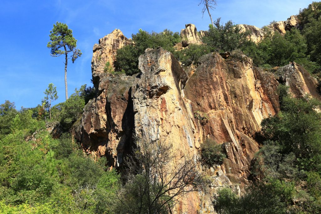
Hiking – Salernes – Saint-Barthélémy, Picaillou Distance: 6.5 km Duration: 2h Difficulty: Medium Elevation: 325 m Access: road D560, direction “Site de Saint-Barthélémy”. Carpark: Site de Saint-Barthélémy. Start at the
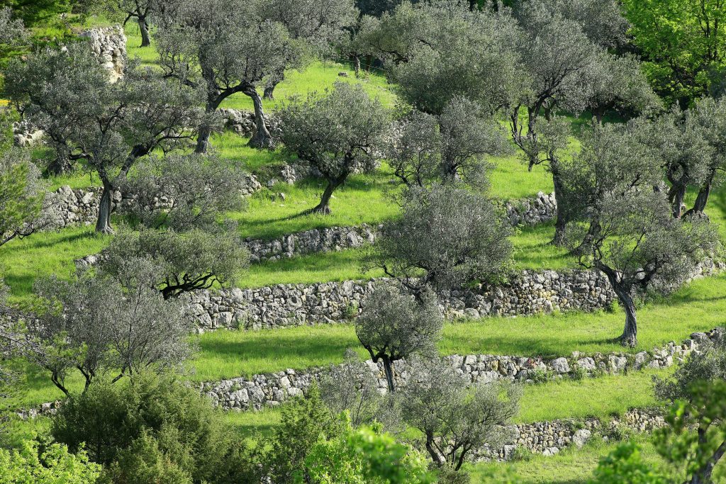
Family walk – Claviers – La forêt du Puy – Chapelle Sainte Anne – L’Oppidum Distance A: 6.5 km Distance B: 5.2 km Duration A: 2h Duration B: 1h45 Difficulty: