Family walk – Montferrat – Notre Dame de Beauvoir
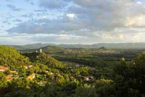
Family walk – Montferrat – Notre Dame de Beauvoir Distance: 2.9 km Duration: 2h / 2h30 Difficulty: Easy Elevation: 250 m Carpark at the entrance of the village, above the
Family walk – Montferrat – Notre Dame de Beauvoir Distance: 2.9 km Duration: 2h / 2h30 Difficulty: Easy Elevation: 250 m Carpark at the entrance of the village, above the

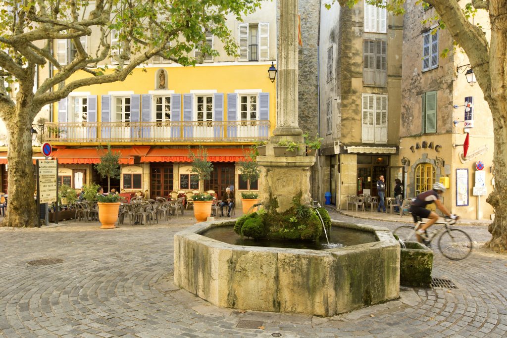
Digital walk – Draguignan – The water path Departure from rue Roumanille, behind the ATP Museum*. A mobile application allowing you to discover the old center of Draguignan as it
Hiking – Taradeau – l’Oppidum du Fort Distance: 2.5 km Duration: 1h30 Difficulty: Medium Elevation: 100 m The parking is located on the site “Panorama de Taradel” above the village