Family walk – Draguignan – Sentier botanique et Sentier des arbousiers
Family walk – Draguignan – Sentier botanique et Sentier des arbousiers Distance A: 1.1 km Distance B: 1.6 km Duration A: 22 min. Duration B: 30 mins. Difficulty: Easy Elevation:
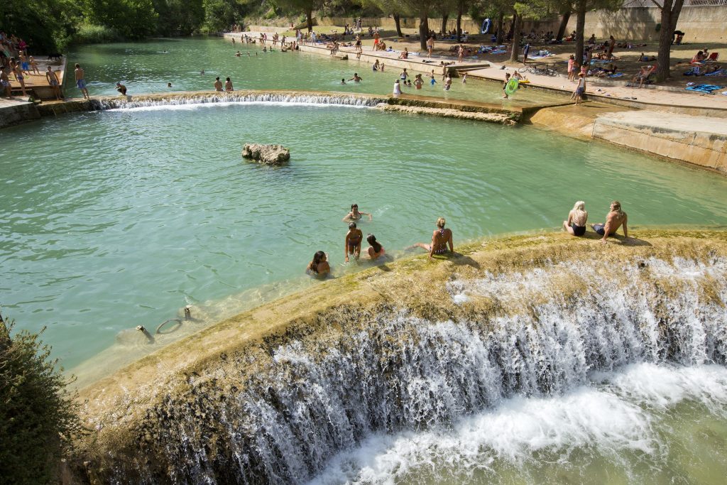
Family walk – Draguignan – Sentier botanique et Sentier des arbousiers Distance A: 1.1 km Distance B: 1.6 km Duration A: 22 min. Duration B: 30 mins. Difficulty: Easy Elevation:
Hiking – La Bastide – Le tour de Brouis Distance: 7 km Duration: 3h Difficulty: Medium Elevation: 440 m Carpark at Clavel mountain pass, between La Bastide and La Martre.
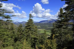
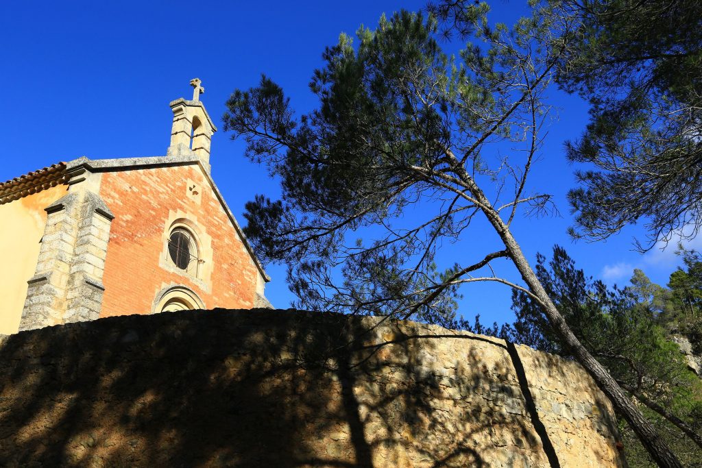
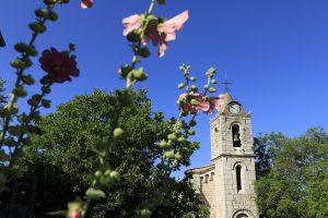
Hiking – La Bastide – Le Lachens 332 / 5 000 Résultats de traduction Distance: 11.2 km Duration: 4 hours Difficulty: Difficult Elevation: 800 m (1) Start from La Bastide church.