Digital walk – Trans en Provence – The Calant loop
Digital walk – Trans en Provence – The Calant loop Distance: 1.6 km Duration: 40 min Difficulty: Easy Elevation: 0 m Departure facing the pharmacy, take the stairs then follow
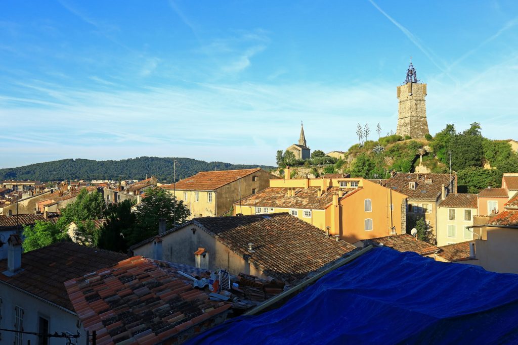

Digital walk – Trans en Provence – The Calant loop Distance: 1.6 km Duration: 40 min Difficulty: Easy Elevation: 0 m Departure facing the pharmacy, take the stairs then follow
Family walk – Lorgues – La campagne de Pey-Cervier Distance: 5.4 km Duration: 2h30 Difficulty: Easy Elevation: 150 m Departure and parking Saint-Jaume hamlet (1) on Road D 562.

Hiking – Saint-Antonin-du-Var – Le Collet du Suis Distance: 5.8 km Duration: 1h50 Difficulty: Medium Elevation: 120 m Departure from the Cemetery via “Chemin du Planouquier” to the North. Passage
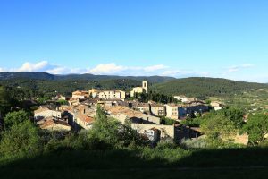
Hiking – Flayosc – Peylong / Figueiret Distance: 8 km Duration: 2h30 Difficulty: Medium Elevation: 250 m From the village (1) pass under the porch next to the post office