
Digital walk – Draguignan – The water path
Digital walk – Draguignan – The water path Departure from rue Roumanille, behind the ATP Museum*. A mobile application allowing you to discover the old center of Draguignan as it
Digital walk – Draguignan – The water path Departure from rue Roumanille, behind the ATP Museum*. A mobile application allowing you to discover the old center of Draguignan as it
Hiking – Flayosc – Peylong / Figueiret Distance: 8 km Duration: 2h30 Difficulty: Medium Elevation: 250 m From the village (1) pass under the porch next to the post office
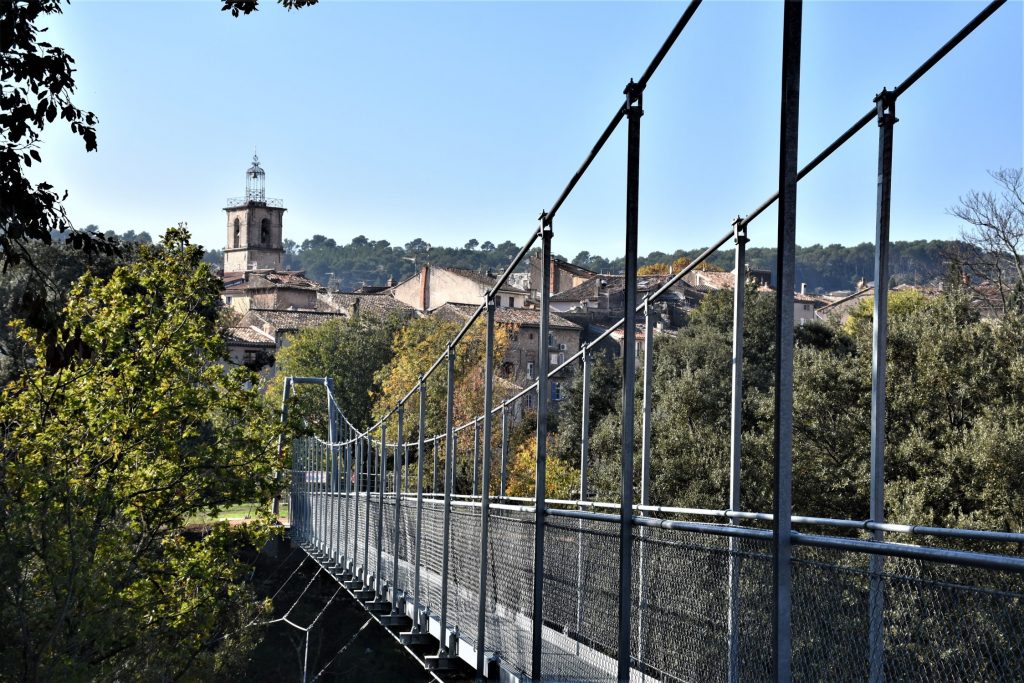
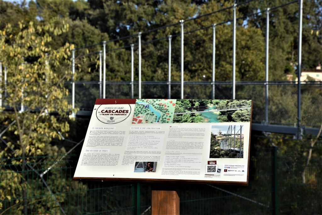
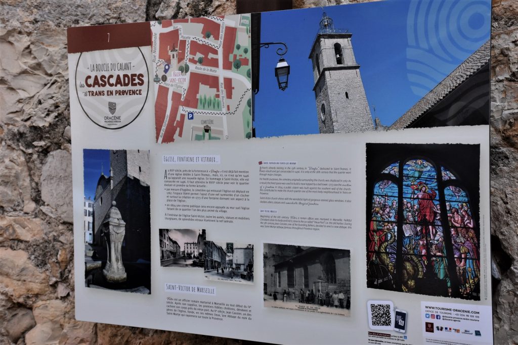
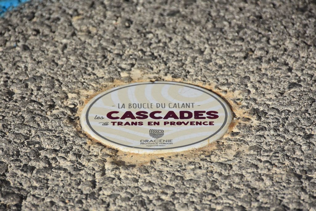
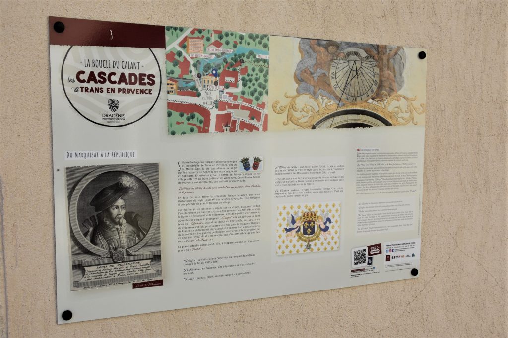
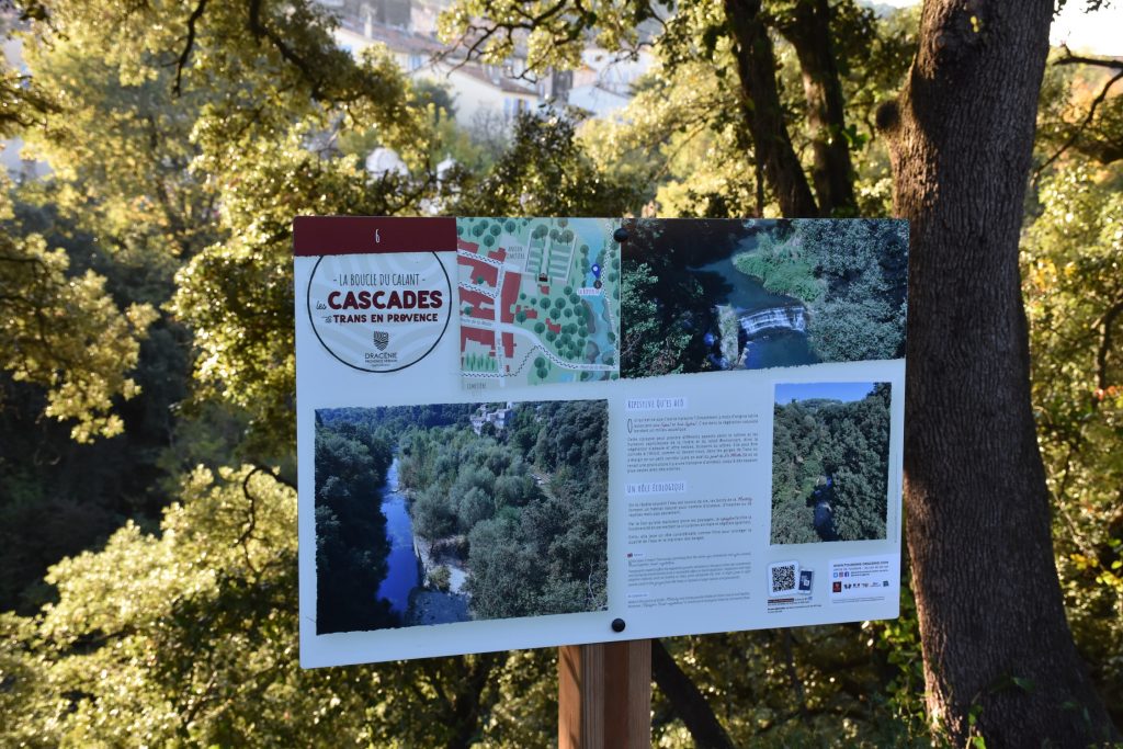
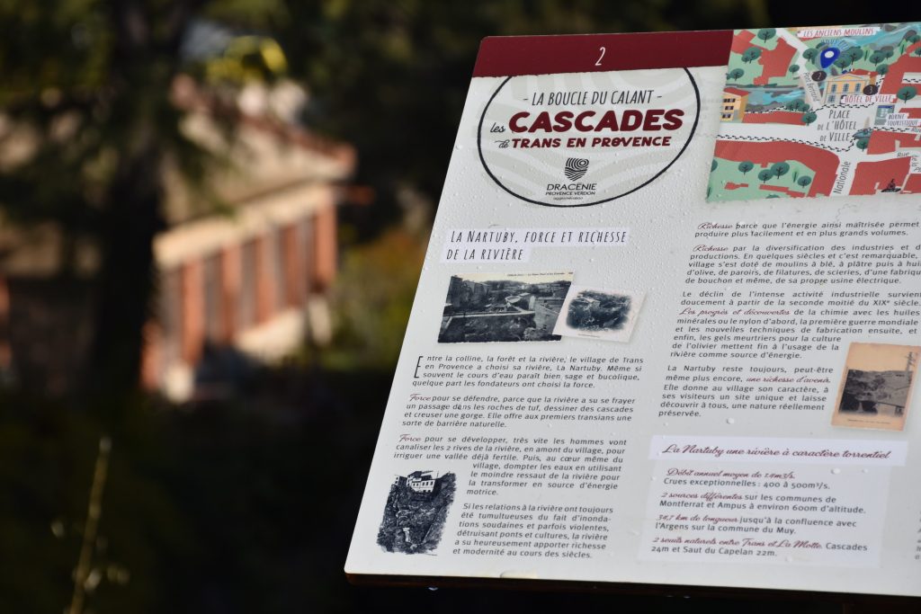
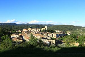
Family walk – Trans en Provence – La Darboussière Distance: 4.5 km Duration: 2h30 Difficulty: Easy Elevation: 200 m Access by road D54 to Draguignan. From the carpark (1).
Hiking – Salernes – Le Tholos de la Lauve Distance: 4.4 km Duration: 1h15 Difficulty: Medium Elevation: 208 m Carpark: La Muie. Retrace your steps to Parouvier round about (1).