
Hiking – Salernes / Salernes Vieille – Le Tholos de la Lauve
Hiking – Salernes / Salernes Vieille – Le Tholos de la Lauve Distance: 4.5 km Duration: 1h40 Difficulty: Medium Elevation: 280 m CAUTION MODIFICATION OF ROUTE Go from point 1
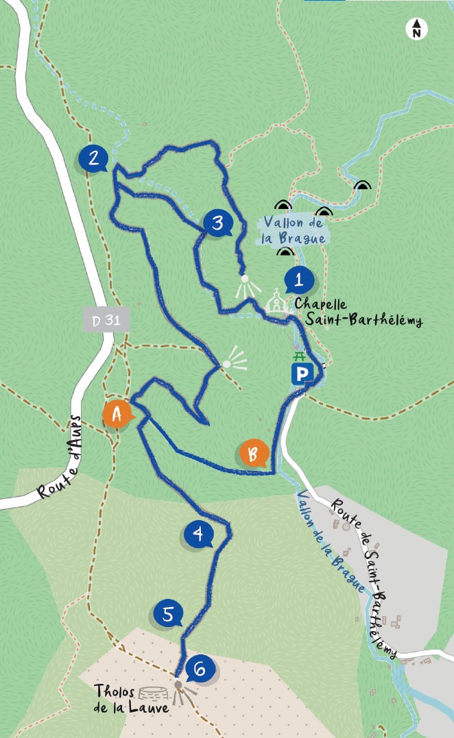
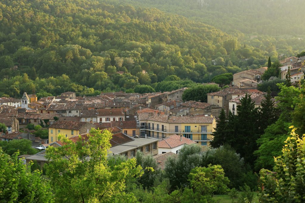
Hiking – Salernes / Salernes Vieille – Le Tholos de la Lauve Distance: 4.5 km Duration: 1h40 Difficulty: Medium Elevation: 280 m CAUTION MODIFICATION OF ROUTE Go from point 1
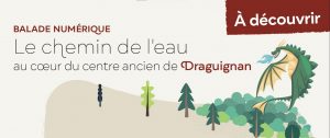
Digital walk – Draguignan – The water path Departure from rue Roumanille, behind the ATP Museum*. A mobile application allowing you to discover the old center of Draguignan as it
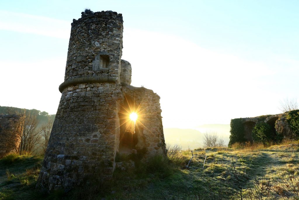
Hiking – Taradeau – l’Oppidum du Fort Distance: 2.5 km Duration: 1h30 Difficulty: Medium Elevation: 100 m The parking is located on the site “Panorama de Taradel” above the village