Hiking – Flayosc – Peylong / Figueiret
Hiking – Flayosc – Peylong / Figueiret Distance: 8 km Duration: 2h30 Difficulty: Medium Elevation: 250 m From the village (1) pass under the porch next to the post office
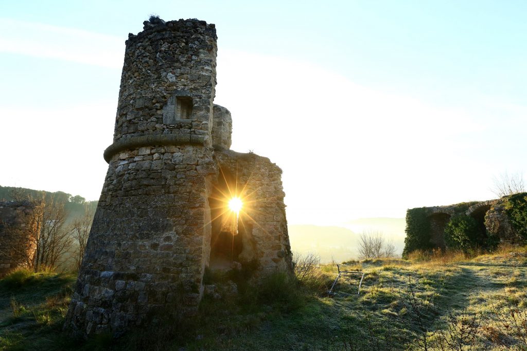
Hiking – Flayosc – Peylong / Figueiret Distance: 8 km Duration: 2h30 Difficulty: Medium Elevation: 250 m From the village (1) pass under the porch next to the post office
Family walk – Trans en Provence – Le puits aérien Distance: 5 km Duration: 1h40 Difficulty: Easy Elevation: 100 m Car park at the former railway station, on “Route du
Family walk – Lorgues – La campagne de Pey-Cervier Distance: 5.4 km Duration: 2h30 Difficulty: Easy Elevation: 150 m Departure and parking Saint-Jaume hamlet (1) on Road D 562.
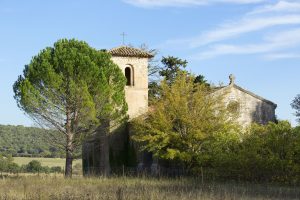
Family walk – Ampus – Notre Dame de Spéluque Distance: 8 km Duration: 2h40 Difficulty: Easy Elevation: 150 m GR waymarked trail (yellow orientation arrows) You will find the car