Family walk – Comps-sur-Artuby – Clos de Siounet
Family walk – Comps-sur-Artuby – Clos de Siounet Distance: 3.5 km Duration: 1h30 Difficulty: Easy Elevation: 100 m Siounet carpark (RD71). (1) From the car park take the south uphill
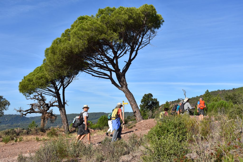
Family walk – Comps-sur-Artuby – Clos de Siounet Distance: 3.5 km Duration: 1h30 Difficulty: Easy Elevation: 100 m Siounet carpark (RD71). (1) From the car park take the south uphill
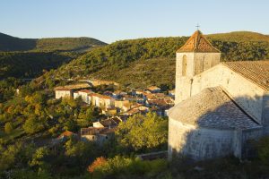
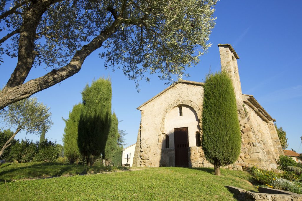
Family walk – Montferrat – Notre Dame de Beauvoir Distance: 2.9 km Duration: 2h / 2h30 Difficulty: Easy Elevation: 250 m Carpark at the entrance of the village, above the
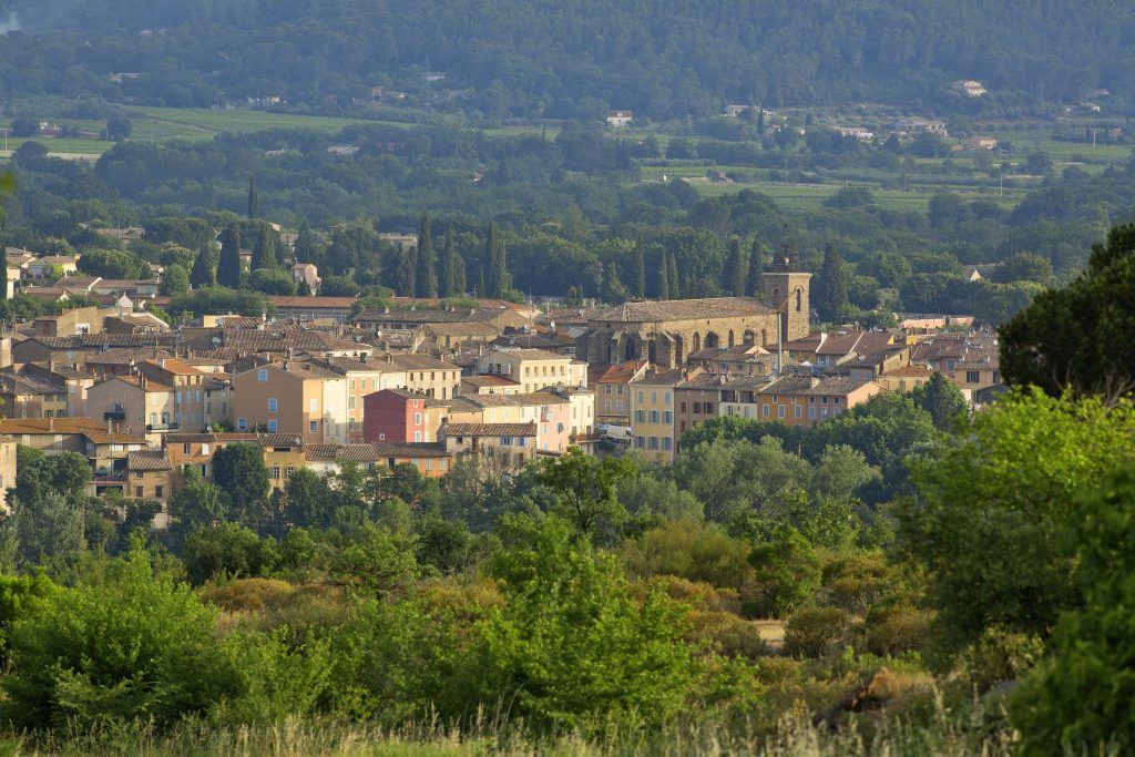
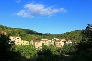
Hiking – Salernes / Salernes Vieille – Le Tholos de la Lauve Distance: 4.5 km Duration: 1h40 Difficulty: Medium Elevation: 280 m CAUTION MODIFICATION OF ROUTE Go from point 1