Hiking – Taradeau – l’Oppidum du Fort
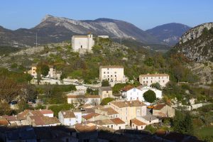
Hiking – Taradeau – l’Oppidum du Fort Distance: 2.5 km Duration: 1h30 Difficulty: Medium Elevation: 100 m The parking is located on the site “Panorama de Taradel” above the village
Hiking – Taradeau – l’Oppidum du Fort Distance: 2.5 km Duration: 1h30 Difficulty: Medium Elevation: 100 m The parking is located on the site “Panorama de Taradel” above the village
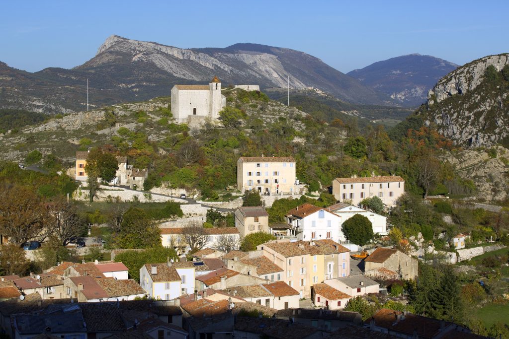
Family walk – Bargemon – La table d’orientation Distance A/R: 9 km Duration A/R: 3h Difficulty: Easy Elevation: 400 m Head past the gendarmerie and follow direction to Col du
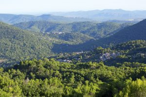
Family walk – Comps-sur-Artuby – Boucle de Siounet Distance: 2.8 km Duration: 1 hour Difficulty: Easy Elevation: 100 m Siounet carpark facing SOS signpost RD71 from road n° D71 direction