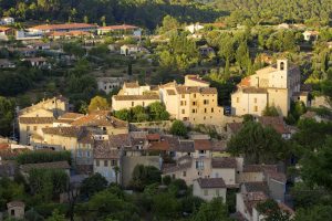
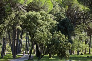
Family walk – Figanières – La Voie Romaine
Family walk – Figanières – La Voie Romaine Distance: 9 km Duration: 3h Difficulty: Easy Elevation: 200 m Parking Saint-Joseph entrance of the village on the left (1). Facing the
Family walk – Figanières – La Voie Romaine Distance: 9 km Duration: 3h Difficulty: Easy Elevation: 200 m Parking Saint-Joseph entrance of the village on the left (1). Facing the
Sports hike – Le Muy – L’Endre et le moulin de Gournié Distance: 10 km Duration: 3h30 Difficulty: Difficult Elevation: 250 m From Le Muy, go onto the RD25 road
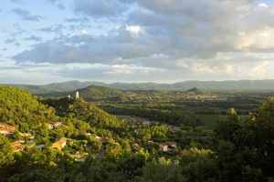
Hiking – Taradeau – l’Oppidum du Fort Distance: 2.5 km Duration: 1h30 Difficulty: Medium Elevation: 100 m The parking is located on the site “Panorama de Taradel” above the village