Family walk – Trans en Provence – Le puits aérien
Family walk – Trans en Provence – Le puits aérien Distance: 5 km Duration: 1h40 Difficulty: Easy Elevation: 100 m Car park at the former railway station, on “Route du
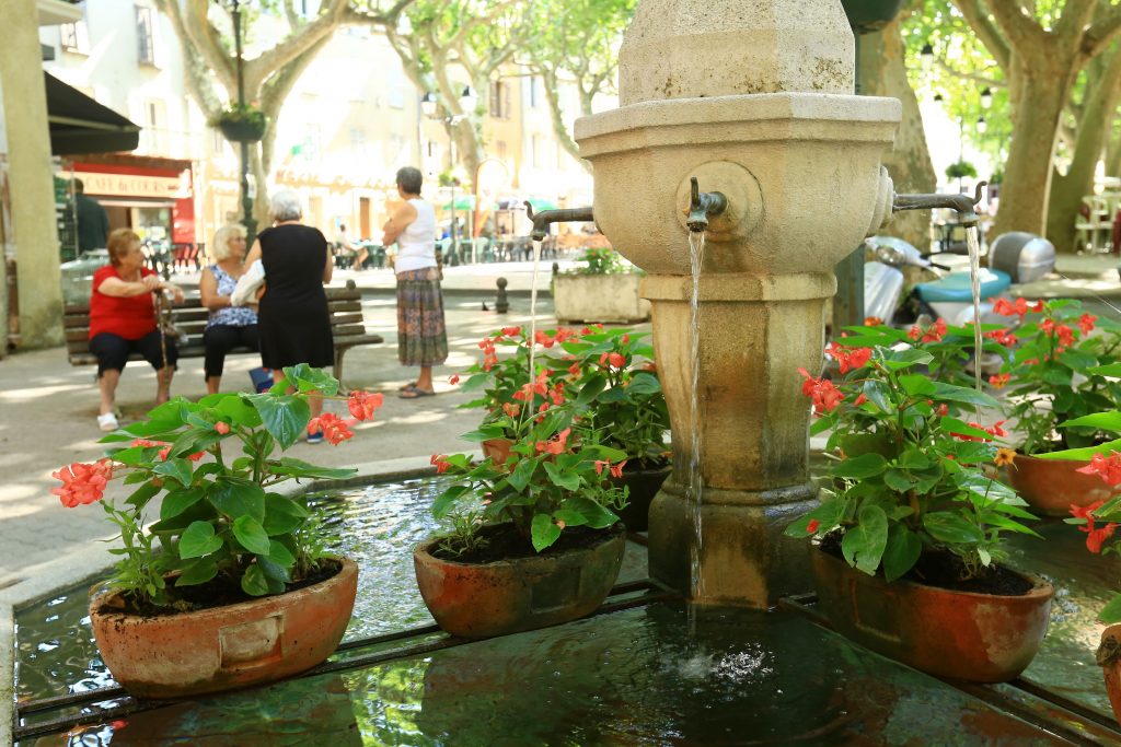
Family walk – Trans en Provence – Le puits aérien Distance: 5 km Duration: 1h40 Difficulty: Easy Elevation: 100 m Car park at the former railway station, on “Route du

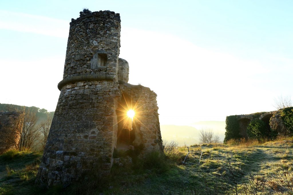
Hiking – Les Arcs sur Argens – La Tournavelle Distance: 12.7 km Duration: 4h30 Difficulty: Medium Elevation: 150m Park at La Tournavelle (1), between the Argens bridge, and the Ailles
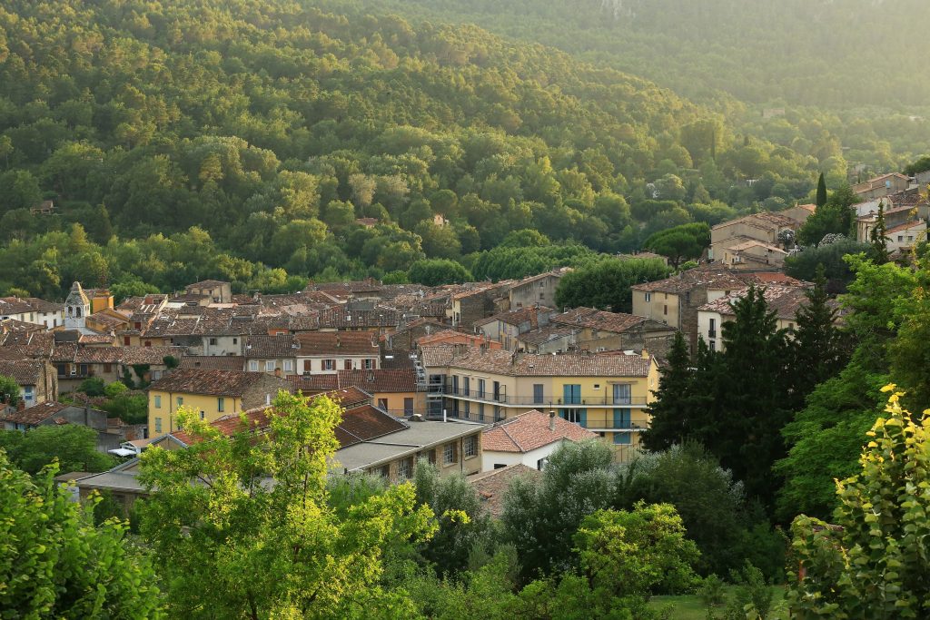
Family walk – Trans en Provence – La Darboussière Distance: 4.5 km Duration: 2h30 Difficulty: Easy Elevation: 200 m Access by road D54 to Draguignan. From the carpark (1).