Hiking – Les Arcs sur Argens – Les menhirs des Terriers
Hiking – Les Arcs sur Argens – Les menhirs des Terriers Distance: 11.3 km Duration: 4h40 Difficulty: Medium Elevation: 350m Download Park at La Tournavelle, between the Argens bridge, and
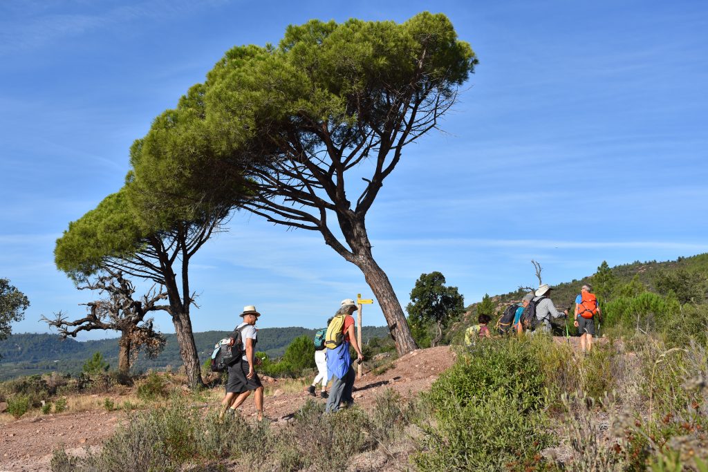
Hiking – Les Arcs sur Argens – Les menhirs des Terriers Distance: 11.3 km Duration: 4h40 Difficulty: Medium Elevation: 350m Download Park at La Tournavelle, between the Argens bridge, and
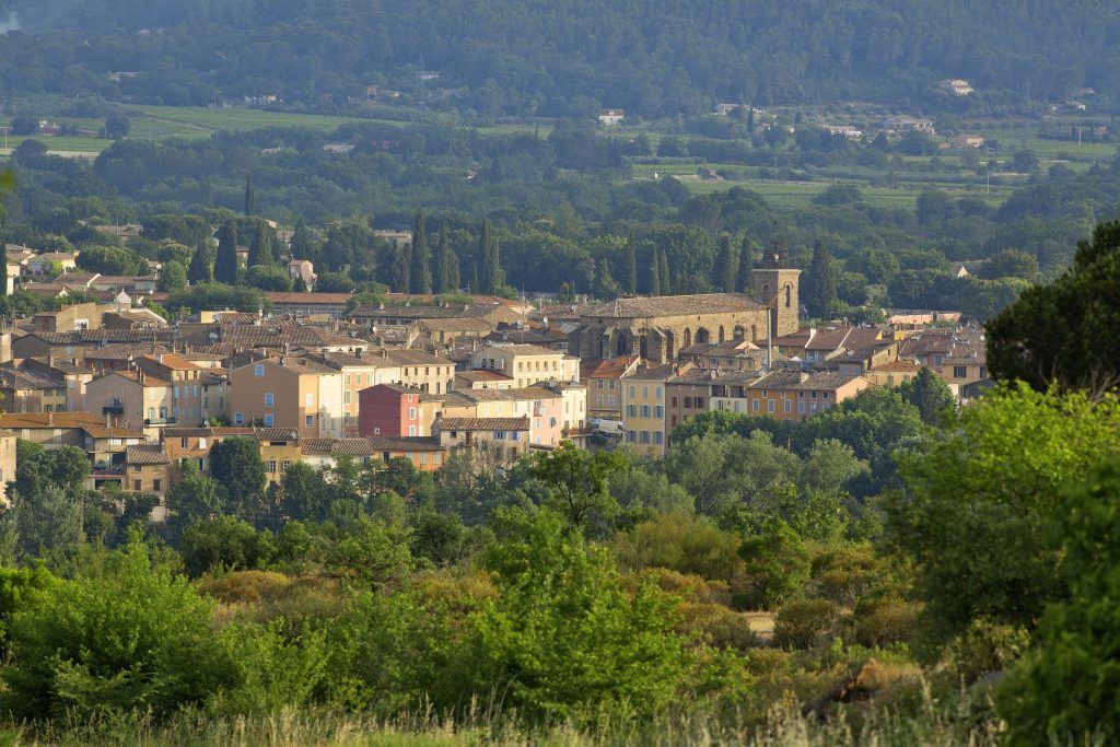
Hiking – La Bastide – Le tour de Brouis Distance: 7 km Duration: 3h Difficulty: Medium Elevation: 440 m Carpark at Clavel mountain pass, between La Bastide and La Martre.
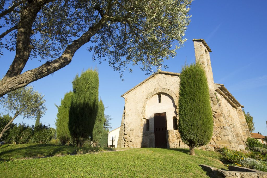
Family walk – Callas – La chapelle Saint Auxile Distance: 9 km Duration: 3h Difficulty: Easy Elevation: 110 m Carpark (1): Place du 18 juin, down the village. Take