Family walk – Draguignan – Sentier botanique et Sentier des arbousiers
Family walk – Draguignan – Sentier botanique et Sentier des arbousiers Distance A: 1.1 km Distance B: 1.6 km Duration A: 22 min. Duration B: 30 mins. Difficulty: Easy Elevation:
Start from the village square (1) Follow François Maurel street rising uphill and turn right onto Marceau street until you reach road D25.
Look out for St Roch path (2) just opposite.
Once on road D19, take (3) on your left the path going down Go ahead until (4) road D19 again and follow it for 200 m.
Just before the left curve, go onto (5) the Chemin des Béliers soon leading a road to follow until (6) the oratory Look out for the trail left of the oratory, waymarked by a former well.
At the barrier. Ignore the main trail and go onto (7) the pathway as it gets uphill. At the small plateau (8), turn left after passing the barrier (ignore la Coste place name).
Come across (9) a DFCI trail (anti-wildfire trail), cross the trail and go ahead onto the left waymarked trail.
Keep going uphill ignoring the trail on your right. Ignore the barrier pathway and keep walking uphill. At (10) the stone marker, stay on the main trail.
After 200 m, leave the main trail and take (11) left turn onto the fenced pathway.
After about 1 mile, (12) turn left.
60 m further ahead, (13) turn right on a path reaching road D25. (14) retrace your steps back to the city centre along the road. Be careful.
Family walk – Draguignan – Sentier botanique et Sentier des arbousiers Distance A: 1.1 km Distance B: 1.6 km Duration A: 22 min. Duration B: 30 mins. Difficulty: Easy Elevation:
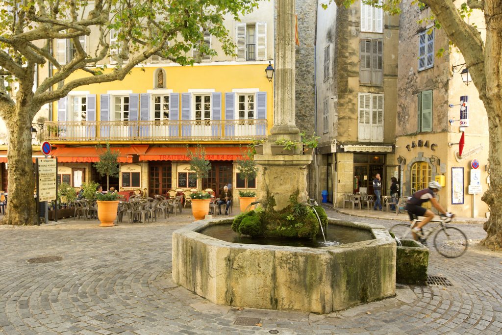
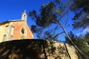
Digital walk – Draguignan – The water path Departure from rue Roumanille, behind the ATP Museum*. A mobile application allowing you to discover the old center of Draguignan as it
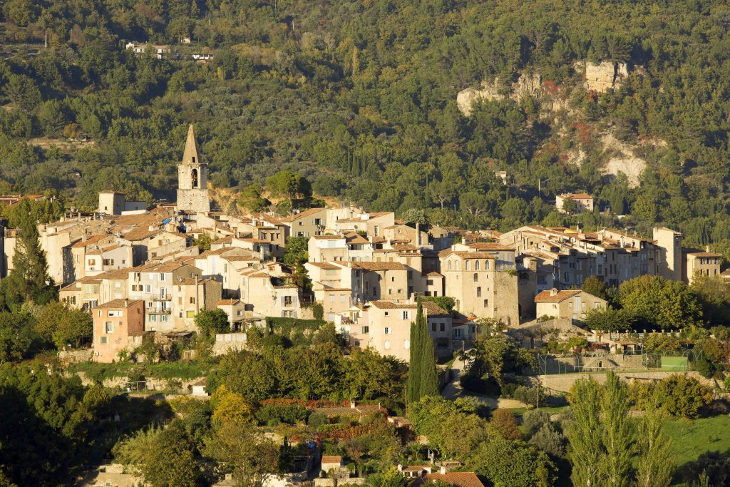
Hiking – Salernes – Saint-Barthélémy, Picaillou Distance: 6.5 km Duration: 2h Difficulty: Medium Elevation: 325 m Access: road D560, direction “Site de Saint-Barthélémy”. Carpark: Site de Saint-Barthélémy. Start at the