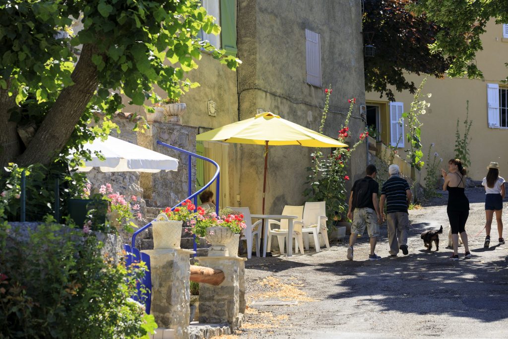
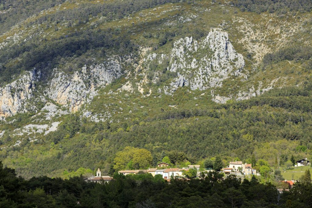
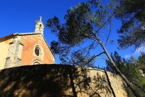
Family walk – Callas – La chapelle Saint Auxile
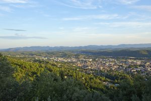
Family walk – Callas – La chapelle Saint Auxile Distance: 9 km Duration: 3h Difficulty: Easy Elevation: 110 m Carpark (1): Place du 18 juin, down the village. Take
Family walk – Callas – La chapelle Saint Auxile Distance: 9 km Duration: 3h Difficulty: Easy Elevation: 110 m Carpark (1): Place du 18 juin, down the village. Take
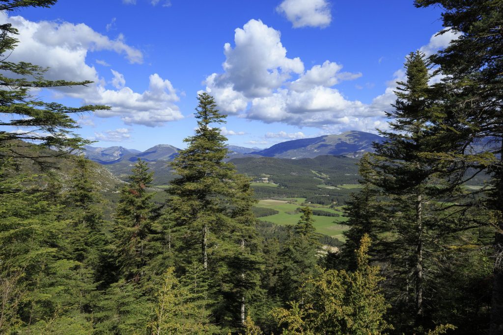
Hiking – Salernes – Le Tholos de la Lauve Distance: 4.4 km Duration: 1h15 Difficulty: Medium Elevation: 208 m Carpark: La Muie. Retrace your steps to Parouvier round about (1).
Family walk – Draguignan – Sentier botanique et Sentier des arbousiers Distance A: 1.1 km Distance B: 1.6 km Duration A: 22 min. Duration B: 30 mins. Difficulty: Easy Elevation: