Digital walk – Draguignan – The water path
Digital walk – Draguignan – The water path Departure from rue Roumanille, behind the ATP Museum*. A mobile application allowing you to discover the old center of Draguignan as it
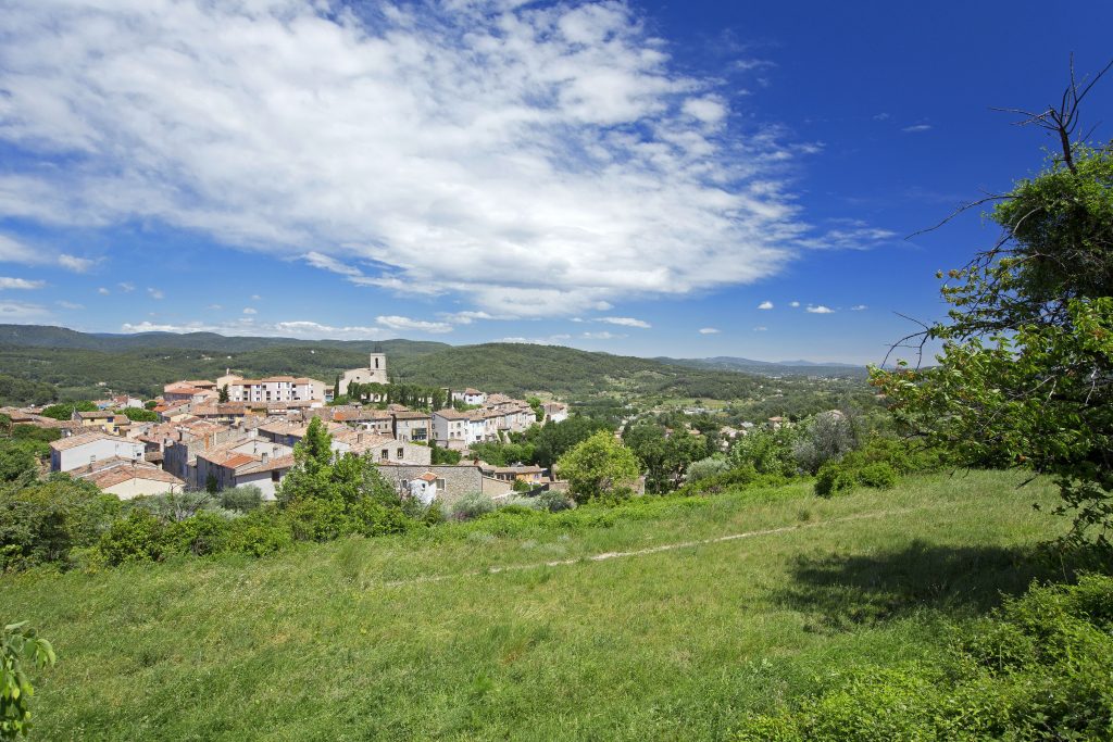
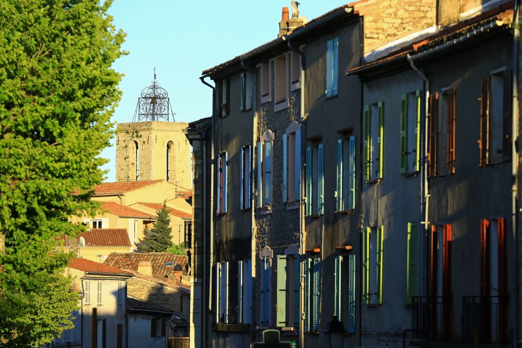
Digital walk – Draguignan – The water path Departure from rue Roumanille, behind the ATP Museum*. A mobile application allowing you to discover the old center of Draguignan as it
Sports hike – Le Muy – L’Endre et le moulin de Gournié Distance: 10 km Duration: 3h30 Difficulty: Difficult Elevation: 250 m From Le Muy, go onto the RD25 road
Hiking – Salernes – Le Tholos de la Lauve Distance: 4.4 km Duration: 1h15 Difficulty: Medium Elevation: 208 m Carpark: La Muie. Retrace your steps to Parouvier round about (1).