Hiking – Salernes / Salernes Vieille – Le Tholos de la Lauve
Hiking – Salernes / Salernes Vieille – Le Tholos de la Lauve Distance: 4.5 km Duration: 1h40 Difficulty: Medium Elevation: 280 m CAUTION MODIFICATION OF ROUTE Go from point 1
Carpark at the entrance of the village, above the stadium
Follow the “Route de Draguignan” to “Rue du Doctor Rayol”.
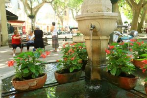
At “Placette de la Fontaine” square (1), take a right turn onto “Rue du Four” and climb the stairs up to the townhall square.
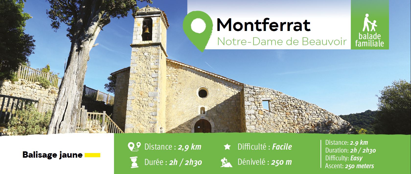
Follow “Rue du Collet” and go onto “Chemin Notre-Dame”
Walk across “Gilbert Mouret” square, take left (2) and follow the street going uphill up to Notre-Dame de Beauvoir chapel.
From the chapel, retrace your steps and after about 250 m, turn right (3). Walk downhill until you reach a waymarked trail (4). Take a left turn and head to the village by “Route de Castellane”, then “Rue du Doctor Rayol” “Place de l’Horloge” and back to the carpark.
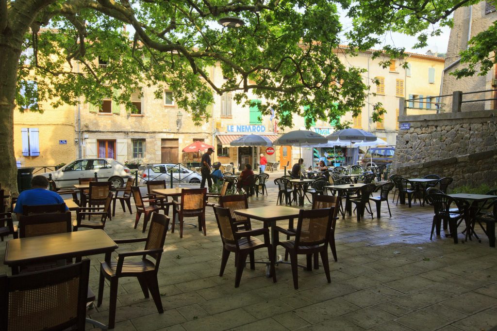

Hiking – Salernes / Salernes Vieille – Le Tholos de la Lauve Distance: 4.5 km Duration: 1h40 Difficulty: Medium Elevation: 280 m CAUTION MODIFICATION OF ROUTE Go from point 1
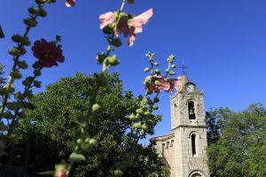
Hiking – La Bastide – Le tour de Brouis Distance: 7 km Duration: 3h Difficulty: Medium Elevation: 440 m Carpark at Clavel mountain pass, between La Bastide and La Martre.
Sports hike – Le Muy – L’Endre et le moulin de Gournié Distance: 10 km Duration: 3h30 Difficulty: Difficult Elevation: 250 m From Le Muy, go onto the RD25 road