Hiking – La Bastide – Le tour de Brouis
Hiking – La Bastide – Le tour de Brouis Distance: 7 km Duration: 3h Difficulty: Medium Elevation: 440 m Carpark at Clavel mountain pass, between La Bastide and La Martre.
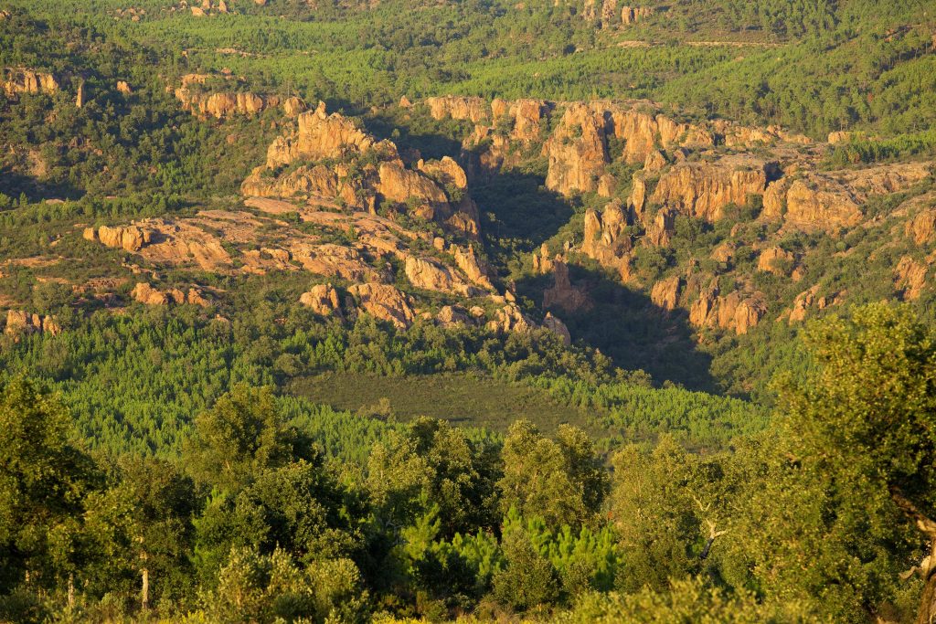
Hiking – La Bastide – Le tour de Brouis Distance: 7 km Duration: 3h Difficulty: Medium Elevation: 440 m Carpark at Clavel mountain pass, between La Bastide and La Martre.
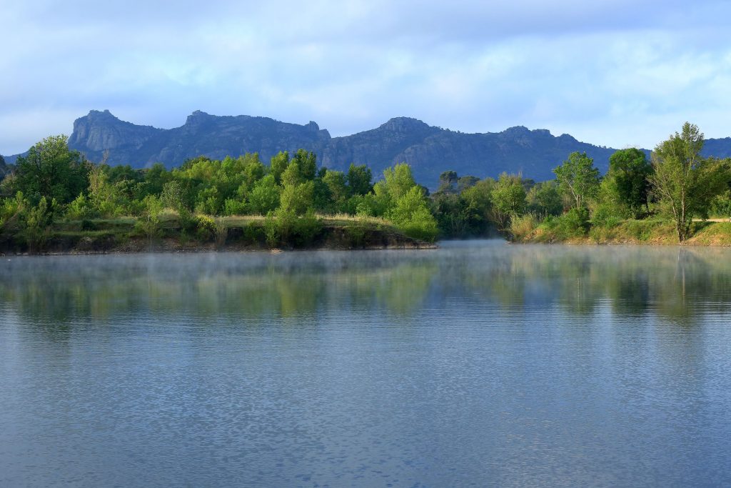
Family walk – Montferrat – Notre Dame de Beauvoir Distance: 2.9 km Duration: 2h / 2h30 Difficulty: Easy Elevation: 250 m Carpark at the entrance of the village, above the
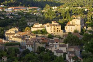
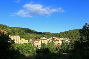
Family walk – Figanières – La Voie Romaine Distance: 9 km Duration: 3h Difficulty: Easy Elevation: 200 m Parking Saint-Joseph entrance of the village on the left (1). Facing the