Sports hike – Draguignan – sentier du patrimoine
Sports hike – Draguignan – sentier du patrimoine Distance A: 6 km Distance B: 3.150 km Duration A/R: 4h Difficulty: Difficult Elevation: 450 m 1st itinerary (1) From Folletiere “wash
Sports hike – Draguignan – sentier du patrimoine Distance A: 6 km Distance B: 3.150 km Duration A/R: 4h Difficulty: Difficult Elevation: 450 m 1st itinerary (1) From Folletiere “wash
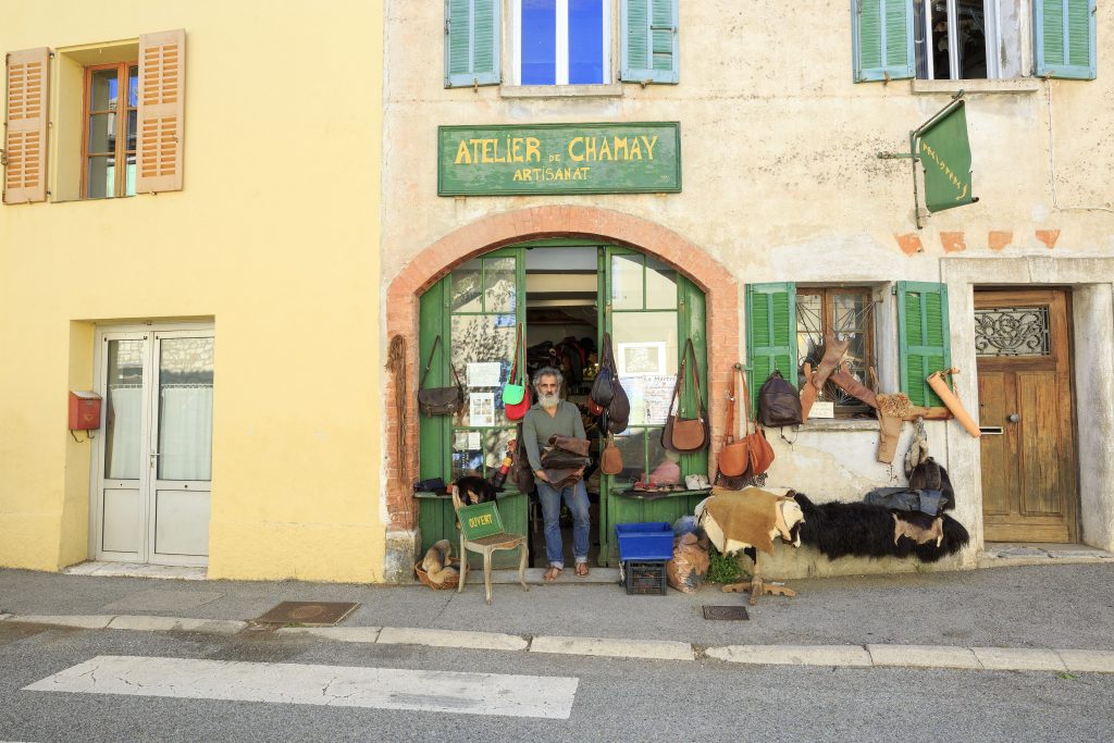
Family walk – Callas – La chapelle Saint Auxile Distance: 9 km Duration: 3h Difficulty: Easy Elevation: 110 m Carpark (1): Place du 18 juin, down the village. Take
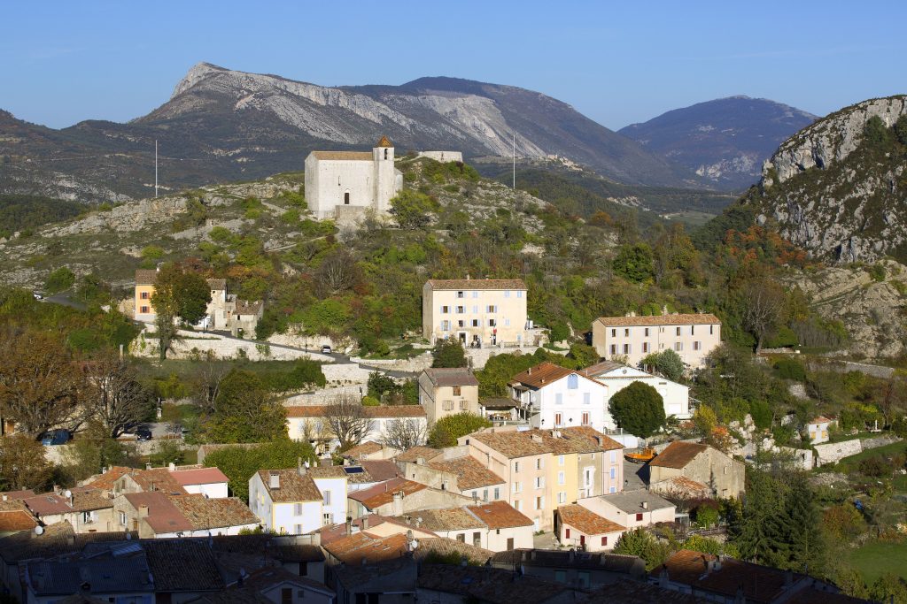
Family walk – Bargemon – Favas et le bois de la Coste Distance: 10 km Duration: 3h20 Difficulty: Easy Elevation: 100 m Start from the village square (1) Follow François