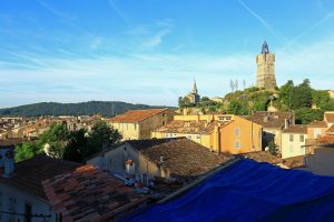
Sports hike – Draguignan – Sentier le toit du Malmont
Sports hike – Draguignan – Sentier le toit du Malmont Distance: 5 km Duration: 1h45 Difficulty: Difficult Elevation: 220 m From Malmont carpark, cross the road (1) follow the purple/white
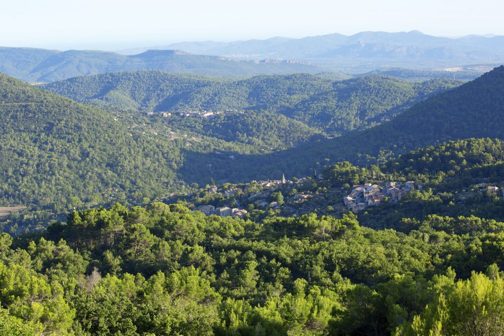
Sports hike – Draguignan – Sentier le toit du Malmont Distance: 5 km Duration: 1h45 Difficulty: Difficult Elevation: 220 m From Malmont carpark, cross the road (1) follow the purple/white
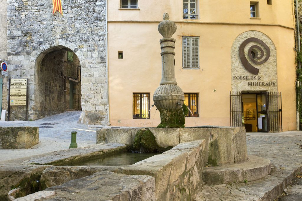
Family walk – Trans en Provence – Le puits aérien Distance: 5 km Duration: 1h40 Difficulty: Easy Elevation: 100 m Car park at the former railway station, on “Route du
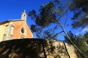
Hiking – Salernes – Le Tholos de la Lauve Distance: 4.4 km Duration: 1h15 Difficulty: Medium Elevation: 208 m Carpark: La Muie. Retrace your steps to Parouvier round about (1).