
Family walk – Lorgues – Saint Ferréol
Family walk – Lorgues – Saint Ferréol Distance: 4 km Duration: 2 hours Difficulty: Easy Elevation: 220 m Carpark: tourism board. From the carpark, head the Saracen door and
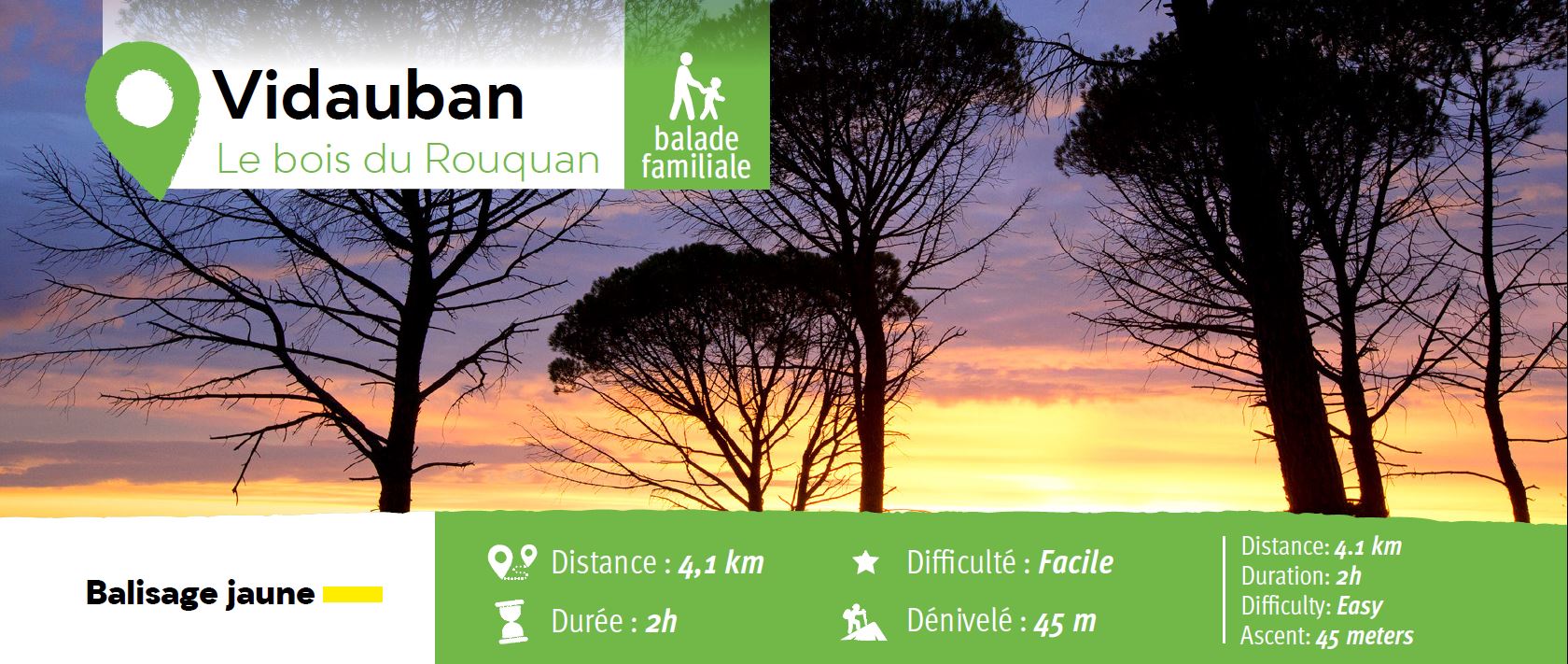
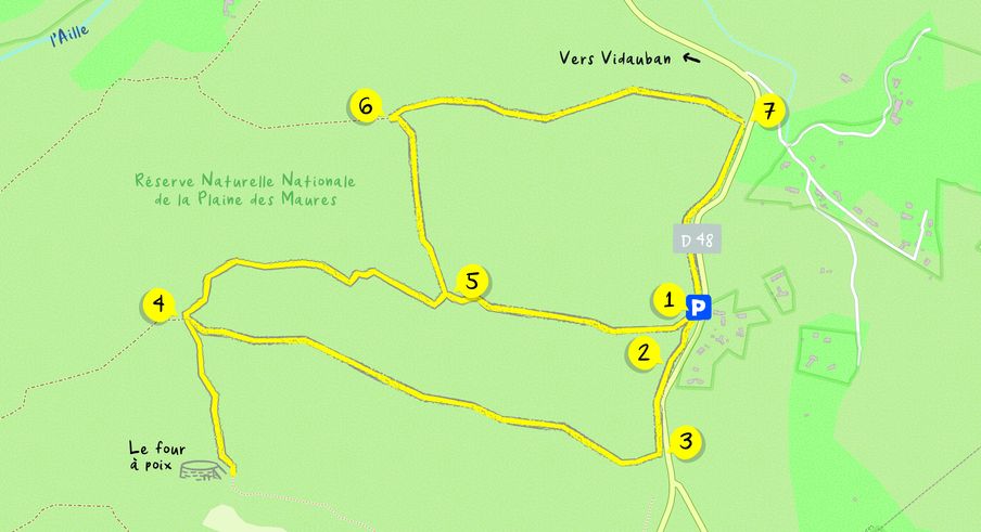
From Vidauban, go onto RD48 to La Garde Freinet for 8 km find the car park (1) on the right, next to a tank.
From the rest area, turn left (2) onto a pathway along the road until a junction (3).
Turn right and cross the barrier. Take the large trail and keep going on “Bois du Rouquan” until the junction (4).
Turn right onto a narrow trail until junction (5).
From this point, you can retrace your steps to the carpark following the pathway on your right.
Keep walking further ahead.
Take a sharp left turn onto a pathway until (6) Turn right and keep walking until (7).
Turn right onto the pathway alongside the road. It takes you back to the starting point.

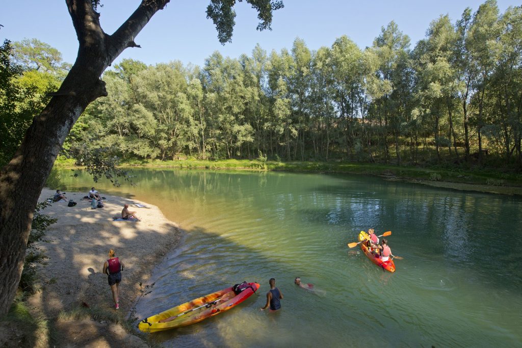
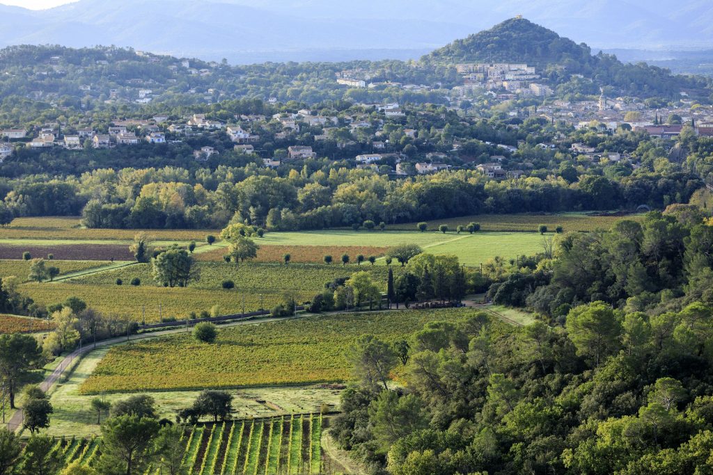
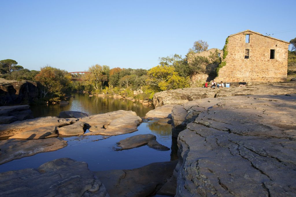

Family walk – Lorgues – Saint Ferréol Distance: 4 km Duration: 2 hours Difficulty: Easy Elevation: 220 m Carpark: tourism board. From the carpark, head the Saracen door and

Family walk – Lorgues – La campagne de Pey-Cervier Distance: 5.4 km Duration: 2h30 Difficulty: Easy Elevation: 150 m Departure and parking Saint-Jaume hamlet (1) on Road D 562.