![](https://tourisme.dracenie.com/wp-content/uploads/2021/09/les-arcs-CMOIRENC_112623-300x200.jpg)
Family walk – Les Arcs sur Argens – Cabredor
Family walk – Les Arcs sur Argens – Cabredor Distance: 8.2 km Duration: 2h30 Difficulty: Easy Elevation: 150 m Park at La Tournavelle (1), between the Argens bridge, and the
Sports hike – Les Arcs sur Argens – Castel Diaou Distance: 12.2 km Duration: 4h30 Difficulty: Difficult Elevation: 390 m Park at La Tournavelle (1), between the Argens bridge, and
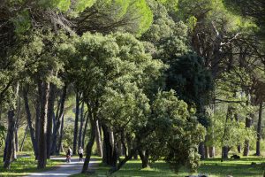
Sports hike – Le Muy – L’Endre et le moulin de Gournié Distance: 10 km Duration: 3h30 Difficulty: Difficult Elevation: 250 m From Le Muy, go onto the RD25 road
Hiking – Les Arcs sur Argens – La Tournavelle Distance: 12.7 km Duration: 4h30 Difficulty: Medium Elevation: 150m Park at La Tournavelle (1), between the Argens bridge, and the Ailles
© Dracénie Provence Verdon Tourisme 2022