Hiking – Les Arcs sur Argens – La Tournavelle
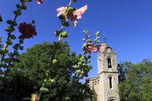
Hiking – Les Arcs sur Argens – La Tournavelle Distance: 12.7 km Duration: 4h30 Difficulty: Medium Elevation: 150m Park at La Tournavelle (1), between the Argens bridge, and the Ailles
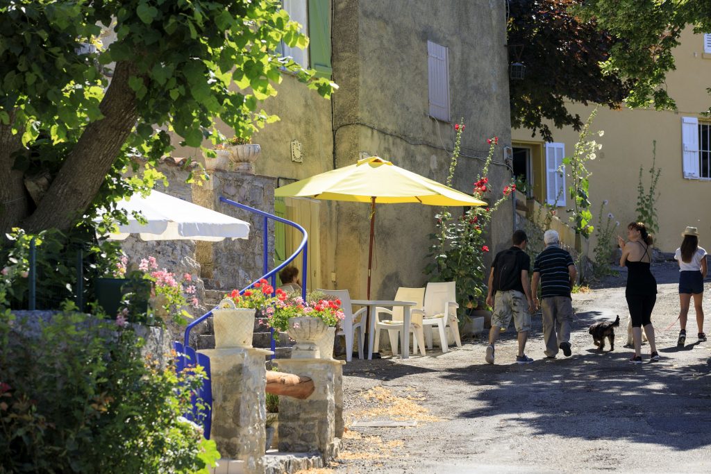
Hiking – Les Arcs sur Argens – La Tournavelle Distance: 12.7 km Duration: 4h30 Difficulty: Medium Elevation: 150m Park at La Tournavelle (1), between the Argens bridge, and the Ailles
Digital walk – Draguignan – The water path Departure from rue Roumanille, behind the ATP Museum*. A mobile application allowing you to discover the old center of Draguignan as it
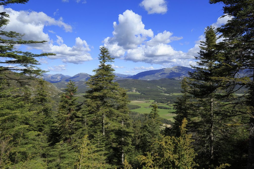
Hiking – La Bastide – Le tour de Brouis Distance: 7 km Duration: 3h Difficulty: Medium Elevation: 440 m Carpark at Clavel mountain pass, between La Bastide and La Martre.