Family walk – Lorgues – La campagne de Pey-Cervier
Family walk – Lorgues – La campagne de Pey-Cervier Distance: 5.4 km Duration: 2h30 Difficulty: Easy Elevation: 150 m Departure and parking Saint-Jaume hamlet (1) on Road D 562.
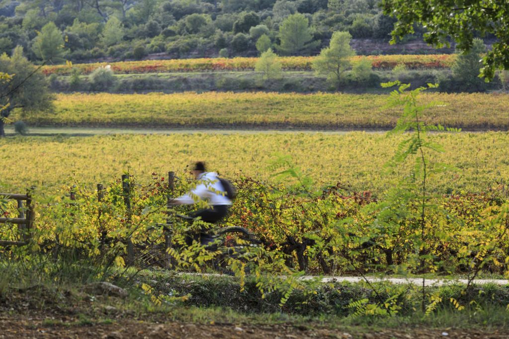
Family walk – Lorgues – La campagne de Pey-Cervier Distance: 5.4 km Duration: 2h30 Difficulty: Easy Elevation: 150 m Departure and parking Saint-Jaume hamlet (1) on Road D 562.
Hiking – Comps-sur-Artuby – Boucle Fayet Distance: 11.6 km Duration: 4 hours Difficulty: Medium Elevation: 340 m Carpark on the outskirts of Comps-sur-Artuby village. (1) From the carpark go onto
Sports hike – Draguignan – sentier du patrimoine Distance A: 6 km Distance B: 3.150 km Duration A/R: 4h Difficulty: Difficult Elevation: 450 m 1st itinerary (1) From Folletiere “wash